What is recorded here
The remains of stone structure, possibly a lime kiln, on bank of ringfort at W (LH004-022001-). The remains had been removed by 1995 (OSAP).
Compiled by: Claire Breen
Date of upload: 10 November 2011
Amended: 28 October 2020
The monument record does not grant public access. Check the route and ask the landowner before entering private land.
- What survives
- Recorded monument
Places near here
 St. Brigids StationPenitential station · 321 yd
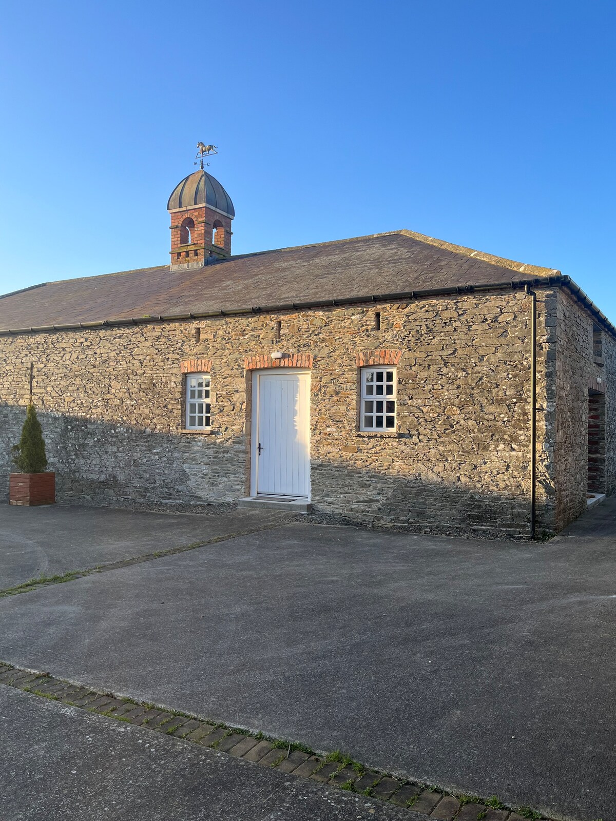 Enclosure in MonascreebeEnclosure · 576 yd
 Faughart MoundCastle, motte · 582 yd
 CrossCross, High cross · 705 yd
 Church (in ruins)Church · 739 yd
 MonascreebeMountain / peak · 1321 yd
 Battle of FaughartMajor battlefield · 1334 yd
 Raskeagh FortCastle, motte and bailey · 1396 yd
 SlievenaboleaMountain / peak · 1.0 mi
 Moyry CastleCastle · 1.3 mi
 KILNASAGGART INSCRIBED PILLAR STONE & CEMETERY with 6 CROSS-CARVED STONES: CELL NA SACART in EdenappaKILNASAGGART INSCRIBED PILLAR STONE & CEMETERY with 6 CROSS-CARVED STONES: CELL NA SACART · 1.5 mi
 Ring of Gullion Way - Section 3Walking route · 1.9 mi