What is recorded here
Listed in the SMR (1989) and RMP (1995) and classified 'Mound'. On a gentle S-facing slope, within a possible ecclesiastical enclosure (SL032-141003-) and c. 10m W of a possible graveyard (SL032-141002-). A small mound (7.5m N-S; 7.3m E-W; H 0.6m) of earth and stone which is square in plan with rounded corners. At roughly the centre of the top of the mound is a shallow depression (diam. 2.5m; D 0.3m) defined on its N and S sides by a slightly raised rim. Remnants of a field boundary extend to S from the NW corner. The function of this mound is not known but it may be the remains of a limekiln or a feature of relatively recent date.
Compiled by: Archaeological Survey Unit, UCC
Date of upload: 11 January 2012
The monument record does not grant public access. Check the route and ask the landowner before entering private land.
- What survives
- Recorded monument
Places near here
 IndicatedChurch · 32 yd
 CaveMan-made underground passage · 44 yd
 Enclosure in MuckeltyEnclosure · 668 yd
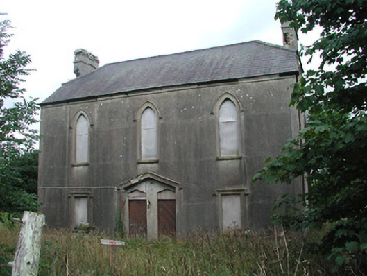 Achonry Parochial Hallchurch hall/parish hall · 1414 yd
 Muckelty HillMountain / peak · 1487 yd
 CastleCastle, unclassified · 1.6 mi
 KnocknasheeMountain / peak · 1.9 mi
 Ballyara Castle (in Ruins)Castle, unclassified · 4.0 mi
 European ashEuropean ash · 4.2 mi
 ElderElder · 4.4 mi
 The Turf Stack RockNamed rock · 5.5 mi
 Old Cave Burial GroundArchaeological place · 7.2 mi