
What is recorded here
Kiln Knowe is a hut in Scottish Borders, Scotland.
Places near here
Photo credits
- Walter Baxter, Wikimedia Commons · CC BY-SA 2.0
- Jim Barton, Wikimedia Commons · CC BY-SA 2.0
- Oliver Dixon, Wikimedia Commons · CC BY-SA 2.0
- James Denham, Wikimedia Commons · CC BY-SA 2.0
- Maker not stated on source page, ru.pinterest.com
- Maker not stated on source page, www.gettyimages.com
- Maker not stated on source page, www.pinterest.com
- Visit Newcastleton; photographer not stated, Visit Newcastleton
- Richard Webb, Wikimedia Commons · CC BY-SA 2.0
 WoolhopeCottage (19th Century), Field System (medieval) - (post Medieval), Lazy Beds (post Medieval) · 221 yd
 BlackburnFarmstead (19th Century) · 244 yd
 Black BurnBuilding(s) (medieval) - (post Medieval) (possible), Settlement (later Prehistoric) · 421 yd
 Blackburn FallsWaterfall · 1.1 mi
 Newcastleton, Montagu Street, Castleton Parish ChurchChurch (18th Century), War Memorial (20th Century) · 1.1 mi
 Bedda HillField Boundary (medieval) - (post Medieval), Quarry(s) (post Medieval), Rig and Furrow (medieval) - (post Medieval) · 1.1 mi
 Newcastleton, 44a North Hermitage Street, Garage and Filling StationGarage (modern) · 1.1 mi
 Newcastleton, 17 Douglas Square, Liddesdale HotelHotel · 1.2 mi
 Newcastleton, 13 Douglas Square, Former United Free Church ManseManse · 1.2 mi
 Newcastleton, Douglas Square, Old WellWell (post Medieval) · 1.2 mi
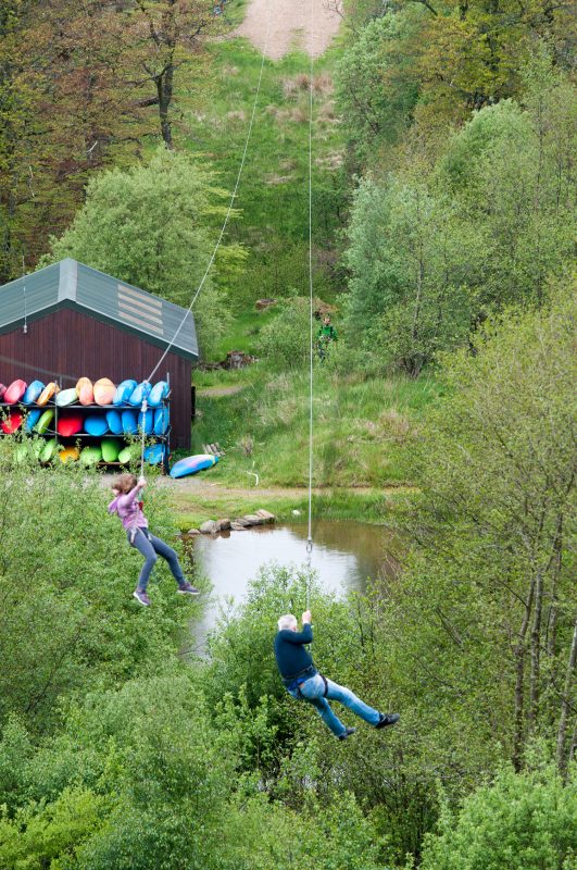 Rock UK - Whithaugh ParkHeritage attraction · 1.4 mi
Explorer Tom Whithaugh Park near Newcastleton is an outdoor activity centre where a person can have an adventure without pretending…
 Lower Hermitage BankField Boundary(s) · 1.7 mi
More archaeology and monuments in Scottish Borders · All of Scottish Borders

What do you know about this place?Tap to add a comment or ask a question