What is recorded here
Situated on a natural gravel rise in a gently undulating landscape. Archaeological centre-line testing (04E0472) by E. Cotter (2004) at Testing Area 11 of Contract 1 prior to the construction of the M3 motorway identified a small enclosure (excavations.ie: 2004:1333) that proved to be a ring-ditch (ME044-071----) and was fully excavated (E003038) by S. D. Elder as Raynestown 1 (Elder et al. 2009) in July-September 2006 together with these nearby kilns and evidence of habitation (ME044-071002-) (excavations.ie 2006:1630).
Located c. 40m SE-S of the double ring-ditch (ME044-071----) two features are thought to be kilns. A circular pit (diam. 2.5-2.6m; max. D 0.44m) had 22 fills consisting largely of sandy clays with decayed stone, charcoal flecks and burnt clay. It was cut by a possible hearth (dims 1.15m x 0.65m; D 0.19m) of reddish brown oxidised clay with charcoal flecks and burnt clay. Adjacent was a second cut (diam. 3.22m x 3.13m; max. D 0.4m) with 24 fills that had charcoal flecks and decayed stone throughout, and it was re-cut once (dims 0.81m x 0.6m; D 0.25m) with a fill of silty clay that had charcoal and iron flecks. A pit (dims 1.05m x 0.5m; D 0.32m) with similar fills also cut this feature. Five post-holes are associated with the kilns. About 10m SW of the kilns was further evidence of habitation (ME044-071002-). (Elder eat al. 2009, 12)
Compiled by: Michael Moore
Date of upload: 13 December 2021
The monument record does not grant public access. Check the route and ask the landowner before entering private land.
- What survives
- Recorded monument
Places near here
 Mill HillArchaeological place · 1224 yd
 Regan's RathArchaeological place · 1247 yd
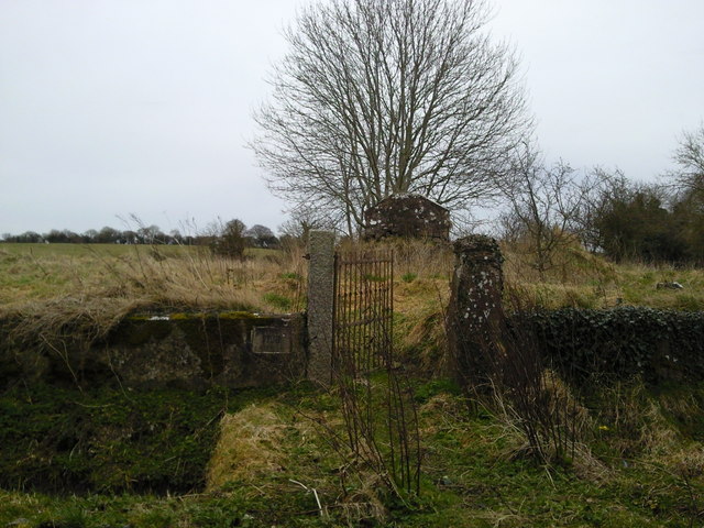 RuinChurch · 1251 yd
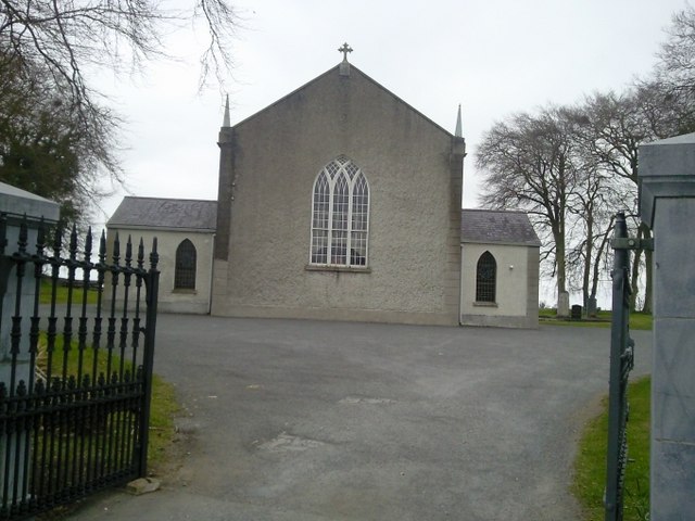 Catholic Church of the Assumptionchurch/chapel · 1627 yd
 CastleCastle, motte · 1.3 mi
 Lismahon 1798 MemorialMonument · 1.6 mi
 Site of Old CastleCastle, unclassified · 2.0 mi
 Caulstown Christmas Tree FarmForest · 3.7 mi
 Saint Oliver Plunkett 1625-1681Memorial · 4.4 mi
 Hanwood GardensHeritage attraction · 4.6 mi
 Wesley's WoodsWood · 4.8 mi
 Ash HillMountain / peak · 4.9 mi