What is recorded here
Excavation licence number 99E0379. Excavation was carried out on the site of a drying kiln between 28 June and 3 July 1999, before the proposed Clar-Barnesmore road realignment. Topsoil, sod and a single stone fill of the bowl were removed, exposing a kiln built into a natural ridge of peat. The kiln comprised a…
Read the whole record
From the National Monuments Service (Archaeological Survey of Ireland) record DG094-026
Places near here
Photo credits
- National Inventory of Architectural Heritage
- Maker not stated on source page, en.wikipedia.org
- louise price, Geograph · CC BY-SA 2.0
- Maker not stated on source page, monumentalireland.ie
- Maker not stated on source page, www.nationalgeographic.com
- Wikimedia Commons contributor shown on the public file page · Public domain
- D Gore, Geograph · CC BY-SA 2.0
- Maker not stated on source page, www.viamichelin.com
- Pauloquicoli, Wikimedia Commons
- Maker not stated on source page, ru.dreamstime.com
- Golfing in Ireland; photographer not stated, Source publisher
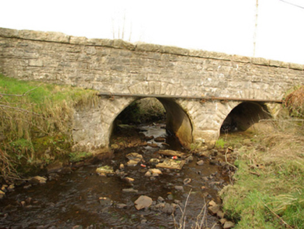 bridge1218 yd
Explorer Tom Bridge in Cullionboy has a small cutwater on its middle pier and two low arches across the Lowerymore River. The old…
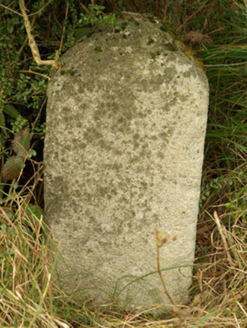 milestone/milepost1409 yd
Explorer Tom Milestone or milepost in Cullionboy is a granite mystery with illegible inscriptions, so basically a rock with…
 Standing stone in ArdeevinStanding stone · 1.5 mi
Explorer Tom Standing stone in Ardeevin is perched on a low mound overlooking Lough Eske, which gives it an air of quiet authority.…
 Benson's HillMountain / peak · 1.5 mi
Explorer Tom Benson's Hill in County Donegal took approximately four hundred cups of tea to build, according to local legend. They…
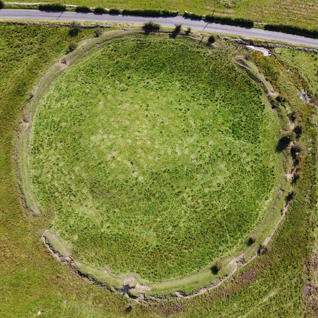 Fairy fort / earthen ringfort in ArdeevinFairy fort / earthen ringfort · 1.6 mi
Explorer Tom Fairy fort / earthen ringfort in Ardeevin is a subcircular secret buried deep under bushes on a promontory. It…
 Roshin IslandIslet · 1.8 mi
Explorer Tom Roshin Island is currently listening to the local sheep form an opinion on whether your boots are muddy enough to…
 BarnesmoreMountain / peak · 2.0 mi
Explorer Tom Barnesmore has been carrying the wrong name tag. Mountaineering Ireland calls this summit Croaghonagh and says…
 Harvey’s PointHotel · 2.7 mi
Explorer Tom Harvey’s Point has manicured lawns running straight down to the water, which sounds like a slippery slope for anyone in…
 Lough Eske Castle HotelHotel · 3.4 mi
Explorer Tom Lough Eske Castle Hotel is five stars, so I bet the ghosts rate the view highly and complain about the WiFi. Tell it to…
 Ardnamona Nature ReserveNational nature reserve · 3.7 mi
Explorer Tom Ardnamona Nature Reserve is the sort of oak wood that makes you lower your voice without anyone posting a sign asking…
 Donegal Union Workhouse GraveyardGraveyard · 5.6 mi
Explorer Tom Donegal Union Workhouse Graveyard started because two lads made a bet in the pub about who could find the coldest patch…
 Letterkenny Golf ClubGolf course · 5.7 mi
More historic places in County Donegal · All of County Donegal

What do you know about this place?Tap to add a comment or ask a question