What is recorded here
Situated on a slight S-facing slope. A remote sensing survey (18R0012) by J. Nicholls (2018) identified numerous potential archaeological features and archaeological testing (18E0495) by L. Kavanagh (Kavanagh and Tobin 2018) confirmed the presence of three isolated pits, two burnt mounds and a ring-ditch (excavations.ie 2018:226). The features were subsequently excavated by M. Piera under the same licence (excavations.ie 2019:735).
A figure-of-eight kiln (dims 2.2m N-S; 0.8m E-W; max. D 0.4m) that had a combustion chamber with a fire-reddened base at N and a drying chamber at S was 7m N of a keyhole-shaped kiln (dims 1.6m x 0.8m; D 0.25m) with its flue extending N. Both were filled with silty clays with frequent charcoal and burnt clay inclusions. A subrectangular pit (dims 1.2m x 0.6m; D 0.16m) with a fire-reddened base that could be another kiln was 8m to the SW of the figure-of- eight kiln, and a small fire-spot (diam. 0.3m; D 0.06m) was 4m to the SE. (Piera 2020, 22-3)
Compiled by: Michael Moore
Date of upload: 10 December 2021
The monument record does not grant public access. Check the route and ask the landowner before entering private land.
- What survives
- Recorded monument
Places near here
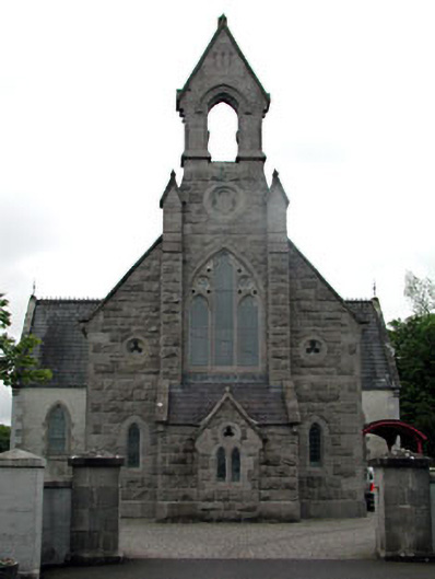 Dunshaughlin Librarychurch/chapel · 535 yd
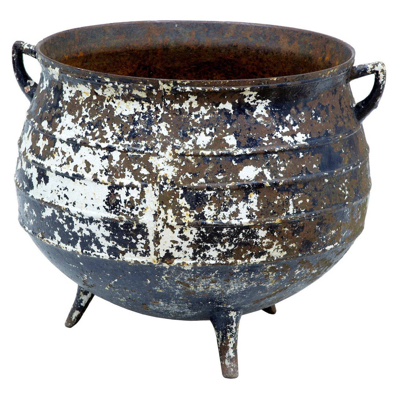 Famine PotMonument · 537 yd
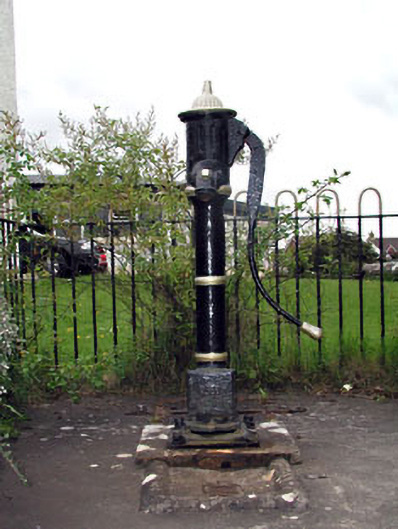 water pumpwater pump · 592 yd
 Church (Site of)Church · 995 yd
 Lismahon 1798 MemorialMonument · 3.2 mi
 Killeen CastleCastle, tower house · 3.2 mi
 Lemur WoodWood · 3.9 mi
 Emerald ParkHeritage attraction · 4.0 mi
 Laurel WoodsWood · 4.0 mi
 CastleCastle, unclassified · 4.0 mi
 1798 MemorialMemorial · 5.3 mi
 MullaghMountain / peak · 5.5 mi