What is recorded here
On an elevated NE-facing slope in pasture. Excavated in 2010 in advance of the N9/N10 Waterford to Powerstown Road Improvement scheme (Licence no. 3015). A circular pit (L 1.78m; Wth 1.53m; D 0.31m) with a linear, flue-type cut (L 2.61m; Wth 0.62m; D 0.21m) extending from it at N. The pit had an oxidised base and may have functioned as a cereal-drying kiln although the absence of charred grain suggests a simple hearth or charcoal production pit. Radiocarbon dating of charred oak bark returned a date of 1216-1268 cal AD (UBA-14005). Three additional pits were recorded c. 5m to the S and may represent contemporary activity. (Monteith 2009, 270-71, no. 1051; Monteith 2010)
Compiled by: Mary Tunney
Date of upload: 21 October 2013
The monument record does not grant public access. Check the route and ask the landowner before entering private land.
- What survives
- Recorded monument
Places near here
 Carrickshock MemorialMonument · 275 yd
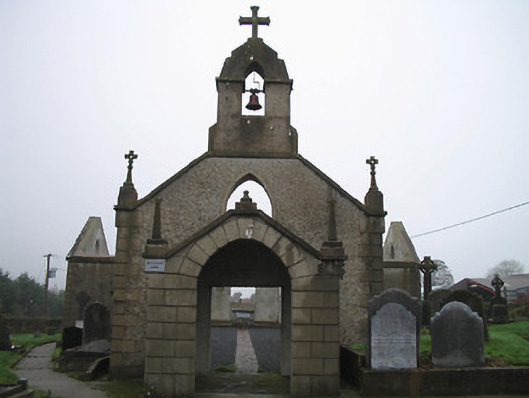 Catholic Church of the Most Holy Trinitychurch/chapel · 1155 yd
 Gorman's Cottagefarmyard complex · 1170 yd
 Graveyard in KilkeasyGraveyard · 1289 yd
 The MoatArchaeological place · 1362 yd
 Enclosure in HugginstownEnclosure · 1.1 mi
 CastleCastle, tower house · 1.2 mi
 Aghaviller Castle (in ruins)Castle, tower house · 1.8 mi
 Castlemorris Pheasant LoopWalking route · 1.9 mi
 Castlemorris WoodForest · 1.9 mi
 Turkey OakTurkey Oak · 4.0 mi
 Holy WellSpring · 5.4 mi