What is recorded here
One of two corn-drying kilns (see CO035-138----) which were excavated along the route of the N8 Rathcormac-Fermoy Bypass in 2003. This figure-of-eight-shaped corn-drying kiln consisted of a pit (L c. 2.5m N-S; max. Wth c. 1.5m) which was divided into two areas: a shallow chamber (D c. 0.25m) to the N and a deeper chamber (D c. 0.6m) to the S. The sides of the pit itself were steep to the N but elsewhere sloped more gently to shallow U-shaped profiles. The base of the deeper chamber had been oxidised to a deep red by heat. One of the fills in this S chamber consisted of high concentrations of charcoal and very occasional fragments of burnt bone. Charcoal from this fill provided a radiocarbon date of cal. AD 350. Analysis of seeds obtained from the fills were predominantly barley. There was another kiln (CO035-138----) situated c. 44m to the NE. (O'Connell and Linnane 2006, 72; Linnane 2006)
The above description is derived from 'The Archaeological Inventory of County Cork. Volume 5' (Dublin: Stationery Office, 2009).
Date of upload: 22 December 2009
The monument record does not grant public access. Check the route and ask the landowner before entering private land.
- What survives
- Recorded monument
Places near here
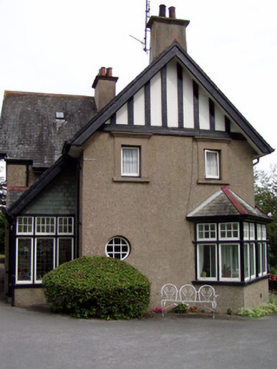 Sunnybankhouse · 219 yd
 Rathealy Househouse · 265 yd
 Burial GroundGraveyard · 524 yd
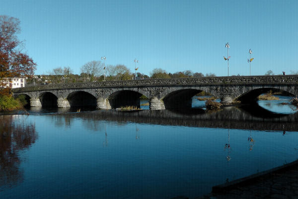 Fulacht fia in FermoyFulacht fia · 599 yd
 Old Railway ViaductViewpoint · 603 yd
 Carrigabrick Castle (in Ruins)Castle, tower house · 668 yd
 Kent BridgeMemorial · 1039 yd
 Tourist InformationVisitor information · 1108 yd
 Graveyard in FermoyGraveyard · 1223 yd
 Licklash Castle (in Ruins)Castle, hall-house · 1336 yd
 Ballybrack WoodForest · 1.4 mi
 Strawhall WoodForest · 1.5 mi
Other information
Photo: Credit not shown in the picture search · Rights wording not checked; contact us if this picture should be removed