What is recorded here
Eighteen potential archaeological sites were found during monitoring of topsoil-stripping on the Celbridge Interchange, from April to December 2001 (Licence no. 01E0306: www.excavations.ie). Most were resolved through subsequent excavation. The scheme was approximately 4km in length and ran from Celbridge to Leixlip through gently undulating land with a mixture of arable, pasture and woodland. The southern part of the scheme runs through an area heavily influenced by 18th-century landscape design, with avenues, woodland and tree-lined field boundaries centred on the early 18th-century house at Castletown.
This site (‘Site 7’ Excavation Licence No. 01E0547 www.excavations.ie) was a corn-drying kiln built in to an earlier ditch. The stone-lined kiln was L-shaped in plan (4.5m E-W; 3.8m N-S) and had a fire-bowl on its E side (diam. 0.95m). At the base of the flue on its W side was a circular pit (diam. 0.6m; D 0.3m), the lower fills of which were rich in charred cereal grains but contained no finds.
Compiled by: Gearóid Conroy
Date of upload: 10 June 2011
The monument record does not grant public access. Check the route and ask the landowner before entering private land.
- What survives
- Recorded monument
Places near here
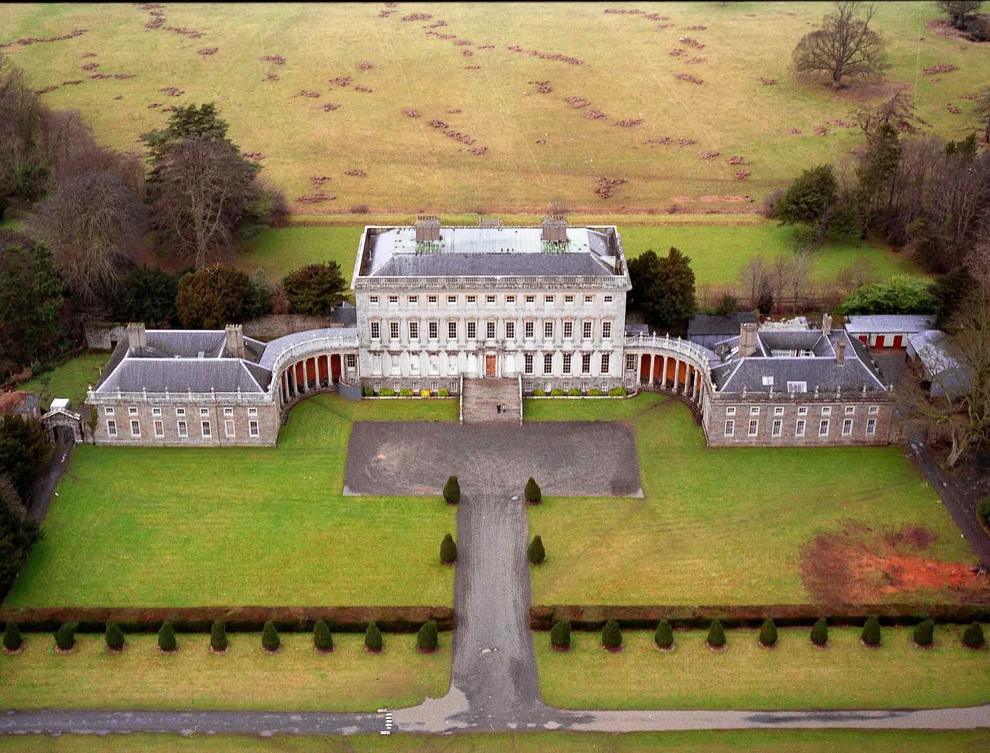 Enclosure in CastletownEnclosure · 75 yd
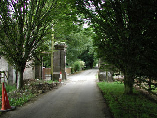 Castletowndemesne walls/gates/railings · 627 yd
 Church (in Ruins)Church · 695 yd
 Ecclesiastical enclosure in Kilmacredock UpperEcclesiastical enclosure · 705 yd
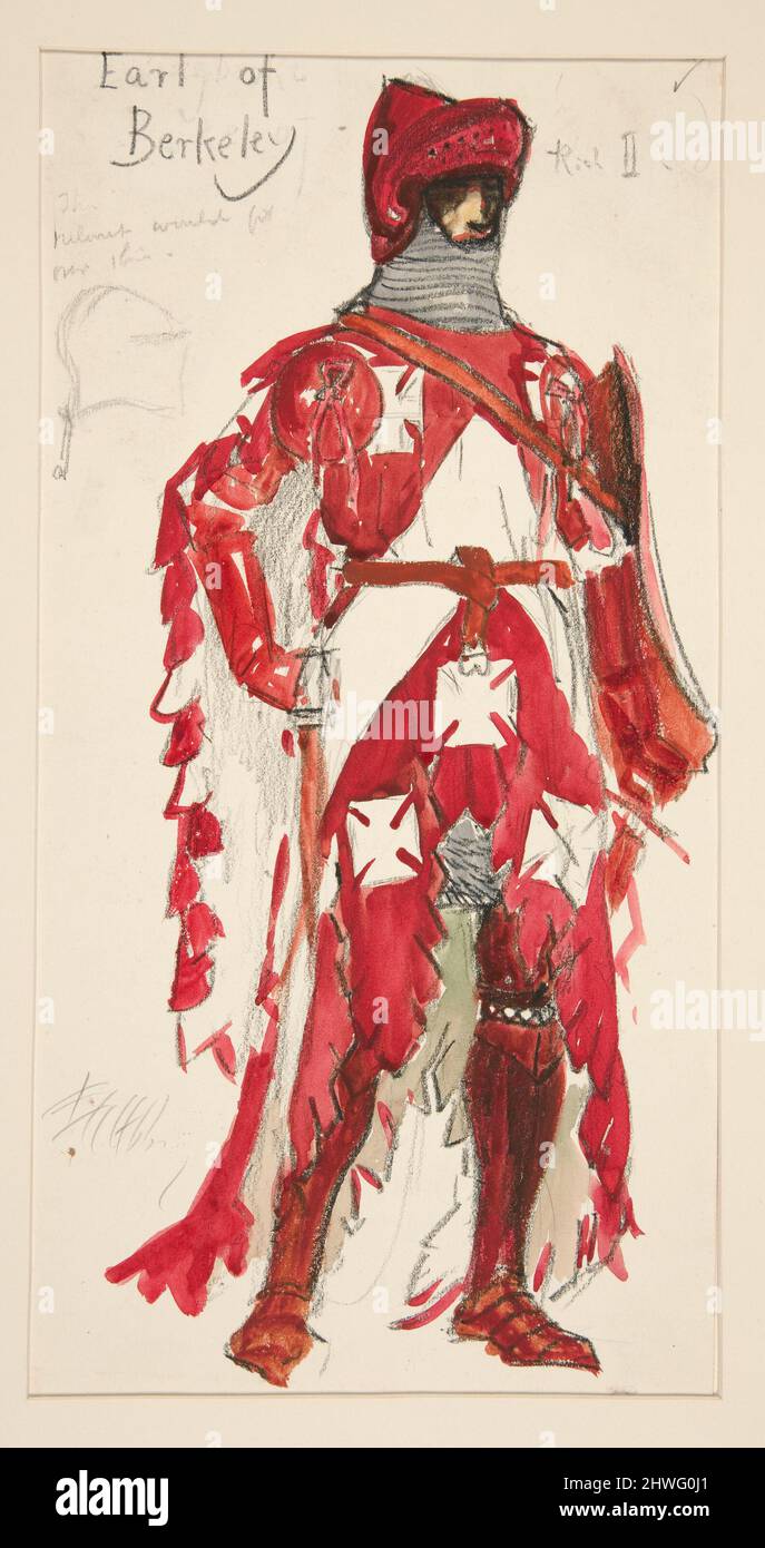 Berkeley Costume and Toy CollectionMuseum · 1262 yd
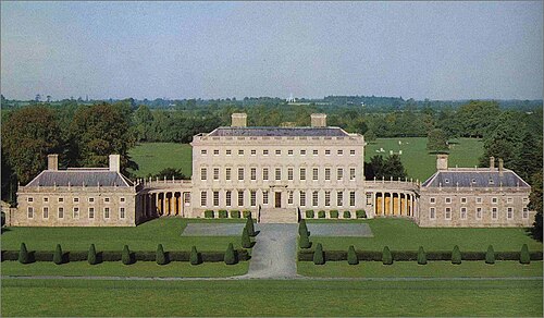 Castletown HouseHeritage attraction · 1287 yd
 CastleCastle, unclassified · 1398 yd
 Batty Langley WoodsForest · 1.1 mi
 Natalie MurrayMemorial · 1.1 mi
 Common LimeCommon Lime · 1.2 mi
 Arthur GuinessMemorial · 1.3 mi
 Leixlip Spa - SpringSpring · 1.3 mi