What is recorded here
The remains of a corn-drying kiln and a structure were excavated here in advance of the construction work associated with a large retail development in 2004 (Excavation Licence 04E1324). The kiln consisted of ‘a cut fire chamber, with evidence of in situ burning on the base and sides of the cut. Connected to this was a cut for the flue, 2.2m in length. In the fire chamber of the kiln were set upright stones, stone sockets and postholes, all indicating the presence of a superstructure, possibly a platform to hold the grains.’ (Cryerhall 2007, 478-9). The structure was sub-rectangular in shape (L 5.2m; Wth 3.8m) and defined by a curving cut (max. D 0.4m) and post-holes. There were two entrances and the internal space was divided in two and had one small hearth and two waste pits. The excavator suggests that the structure may have functioned as a barn. (Cryerhall 2007, 478-9)
Compiled by: Claire Breen
Date of upload: 11 January 2013
The monument record does not grant public access. Check the route and ask the landowner before entering private land.
- What survives
- Recorded monument
Places near here
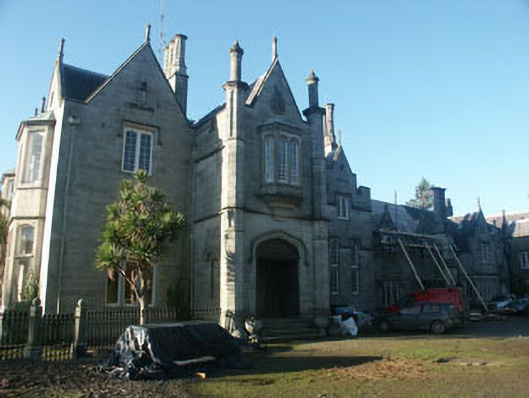 Hollybrookcountry house · 344 yd
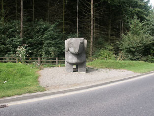 The Ram""monument · 534 yd
 European YewEuropean Yew · 1003 yd
 Cross in Kilbride (rathdown By.)Cross · 1019 yd
 Monterey CypressMonterey Cypress · 1090 yd
 Grave YardGraveyard · 1396 yd
 Johnny Fox's MemorialMemorial · 1458 yd
 Lover's LeapNamed rock · 1.0 mi
 Belmont WayWalking route · 1.1 mi
 Little Sugar LoafMountain / peak · 1.1 mi
 Oldcourt CastleCastle · 1.2 mi
 The Sugar Loaf WayWalking route · 1.7 mi