What is recorded here
Situated on the slight NE-facing slope of a gravel ridge between the high and low water marks on the SW shore of the Newry River estuary. Archaeological excavation (E 4498) in advance of a new bridge recorded a metal-working area and two corn-drying kilns. Kiln 2 had two stone-lined flues (Wth 0.3-0.4m; L c. 3m) centered on the drying-bowl at the E end. Samples of ash, hazel, cherry, alder and blackthorn were identified as well as two carbonised barley grains. Sherds of Man-made underground passage ware and the stem of a decorated pin were recovered. A radiocarbon determination of AD 770-961 is recorded for one of the barley grains. The kiln (LH002-012003-) is just to the NE and the metal-working area (LH002-012005-) is c. 4m to the SE. (Walsh 2015, 303-05)
Date of upload: 25 October, 2016
The monument record does not grant public access. Check the route and ask the landowner before entering private land.
- What survives
- Recorded monument
Places near here
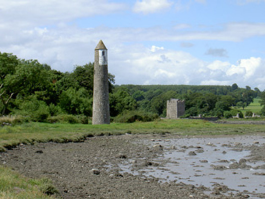 Newry River Lighthouse (Rear)beacon · 4 yd
 Ecclesiastical site in CornamucklaghEcclesiastical site · 205 yd
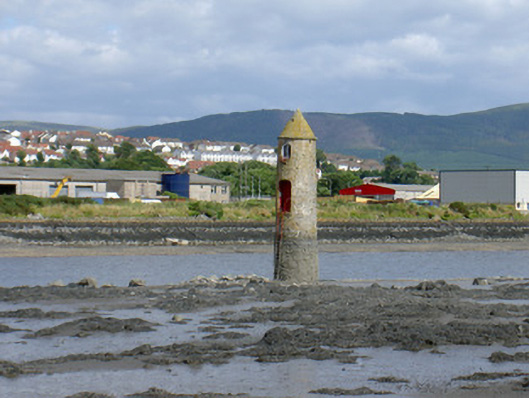 Newry River Lighthouse (Front)beacon · 295 yd
 Narrow Water KeepHeritage attraction · 437 yd
 TOWER-HOUSE AND BAWN: NARROW WATER CASTLE in Narrow WaterTOWER-HOUSE AND BAWN: NARROW WATER CASTLE · 451 yd
 Narrow Water WatchtowerVisitor information · 452 yd
 Warrenpoint ambushambush · 462 yd
 Narrow Water CastleCastle · 901 yd
 Fulacht fia in CornamucklaghFulacht fia · 1486 yd
 Joanne ReillyMemorial · 1731 yd
 Anglesey MountainMountain / peak · 1.5 mi
 Ring of Gullion Way - Section 2Walking route · 1.9 mi