What is recorded here
Situated on a rise in a gently undulating landscape. Archaeological testing (04E1056) by G. McLoughlin (2005) at Test Area 5 of Contract 5 of the M3 identified pits (excavations.ie 2004:1200) that were fully excavated (E003178) by S. Reilly in January 2007 (excavations.ie 2007:1276) as Castlekeeran 1. This is a small keyhole-shaped corn-drying kiln (dims 2.3m x 1.5m; max. D 0.74m) with evidence of a lining of small stones set in the fill of an earlier usage that contained some cremated bone together with evidence of barley, wheat, rye and oats. The stone-lined kiln had three fills and evidence of the same mix of cereals. A sample of willow charcoal from its lowest fill produced a C14 date of 392-562 cal. AD (Beta 247180). A circular pit (diam. 3m; max. D 0.76m) with seven fills was 8m to the SW and had three fills including cremated bone and animal bone as well as cereal grains. (Reilly and Ginn 2008)
Compiled by: Michael Moore
Date of upload: 4 March 2022
The monument record does not grant public access. Check the route and ask the landowner before entering private land.
- What survives
- Recorded monument
Places near here
 HawthornHawthorn · 538 yd
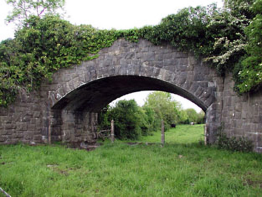 Jack's Bridgebridge · 846 yd
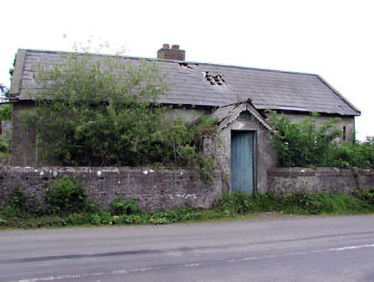 Woodpole National Schoolschool · 879 yd
 Grave YardGraveyard · 924 yd
 CrossCross, High cross · 934 yd
 Woodpole Fox CovertWood · 1.2 mi
 Balgree MoteCastle, motte · 2.0 mi
 MoatCastle, motte and bailey · 2.0 mi
 MaperathMountain / peak · 2.4 mi
 The Kieran Flanagan WayMemorial · 2.4 mi
 Great Famine ProjectMemorial · 2.5 mi
 MountainpoleMountain / peak · 2.7 mi