What is recorded here
The corn-drying kiln had been identified in the archaeological testing, and it occupied the N edge of a large cut (max. dims 12.7m N-S; 5.2m E-W; D 0.5m) in the subsoil. It consisted of a stone-lined bulb-shaped pit (int. dims 4.14m E-W; 3.16m N-S; D 0.5m) with an opening to the E where it widens outwards (Wth 0.55-1.05m). The wall is double-faced with a clay core (Wth 2.1-2.4m) at S but the facing is set into the edge of the cut on the N side. The exposed bedrock at the centre had been scorched red, and was covered by a thin layer of silty clay that produced post-medieval pottery, glass and animal bone. The upper fill of silty clay had similar material. Within the cut to the S were several deposits of charcoal-rich material that was probably rake-out from the kiln. (McGlade and Ruddy 2019, 29-31)
See the attached plans from McGlade and Ruddy 2019 (figs P 33, 29) _01 site plan; _02 Kiln plan;
Compiled by: Michael Moore
Date of upload: 13 April, 2023
McGlade, S. and Ruddy, S. 2019 Excavation of Site A, Bailis, & Monitoring Alexander Reid, Navan. Licence: 16E0449. Unpublished report, Archaeology Plan
The monument record does not grant public access. Check the route and ask the landowner before entering private land.
- What survives
- Recorded monument
Places near here
 Enclosure in Alexander ReidEnclosure · 405 yd
 Enclosure in AthlumneyEnclosure · 1088 yd
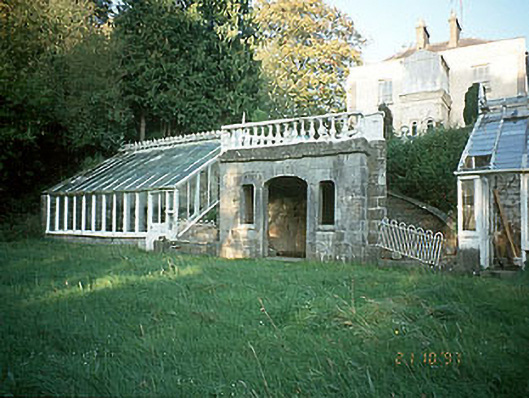 Boyne View Housesummerhouse · 1338 yd
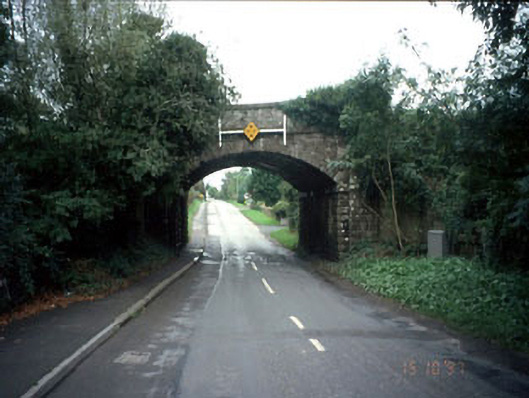 bridgebridge · 1544 yd
 CastleCastle, motte · 1716 yd
 The RampartWood · 1.2 mi
 Carn HillMountain / peak · 1.2 mi
 Rowley's WoodWood · 1.4 mi
 Donaghmore Round TowerHeritage attraction · 1.6 mi
 Dunmoe CastleCastle, unclassified · 1.9 mi
 Nangle CourtMemorial · 2.1 mi
 Hill of TaraVisitor information · 4.9 mi