
What is recorded here
Situated on the N bank of a NW-SE section of the River Blackwater. Archaeological testing (98E0590) by N. Brady on the N bank of the river identified a corn-drying kiln that was completely excavated by the same archaeologist under the same licence (excavations.ie 1998: 499). A stone-built bowl and a stone-lined flue were cut into boulder clay. It was straddling the townland boundary on the line of the N51 Navan Inner Relief Road.
The monument record does not grant public access. Check the route and ask the landowner before entering private land.
- What survives
- Recorded monument
Places near here
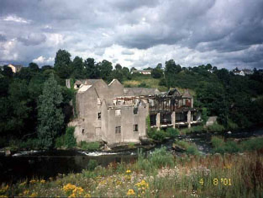 mill (water)mill (water) · 54 yd
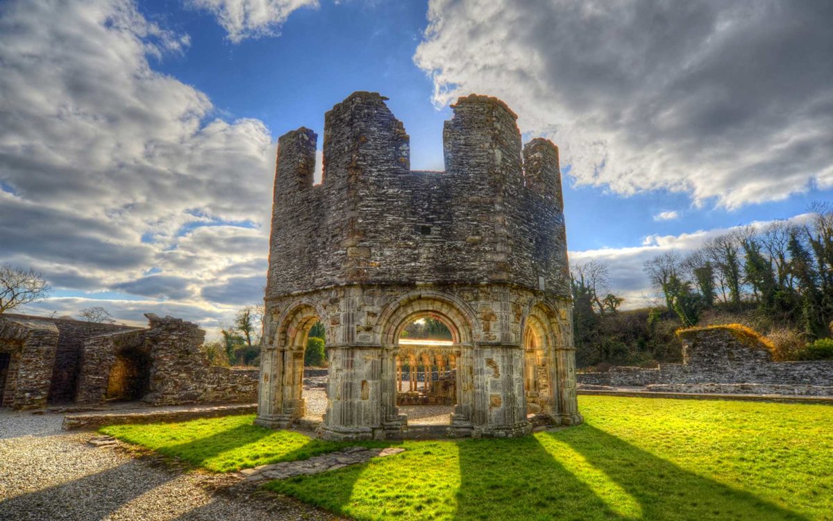 Burnt spread in Abbeyland SouthBurnt spread · 123 yd
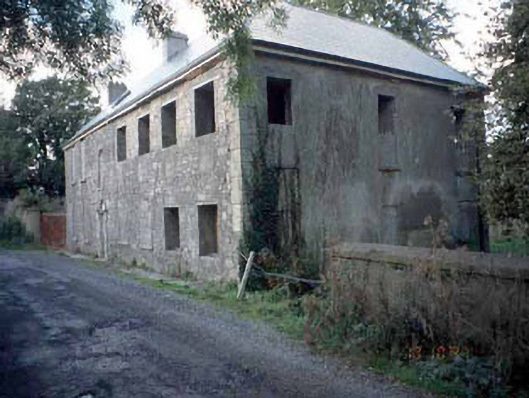 Blackwater Househouse · 156 yd
 Font in Abbeyland SouthFont · 197 yd
 The RampartWood · 653 yd
 Nangle CourtMemorial · 1163 yd
 CastleCastle, motte · 1195 yd
 Blackcastle DemesneWood · 1.3 mi
 Donaghmore Round TowerHeritage attraction · 1.4 mi
 Rathaldron Ho.Castle, tower house · 1.6 mi
 Carn HillMountain / peak · 2.6 mi
 BohermeenMountain / peak · 3.6 mi
Other information
Photo: Credit not shown in the picture search · Rights wording not checked; contact us if this picture should be removed