What is recorded here
Known as Killycooley Burial Ground. Bones were uncovered during recent road widening. There is now no trace of any remains above ground. The field is well cultivated and slopes towards the S overlooking the Gleneely River.
The above description was derived from the 'Archaeological Survey of County Donegal. A description of the field antiquities of the County from the Mesolithic Period to the 17th century.' Compiled by: Brian Lacey with Eamon Cody, Claire Cotter, Judy Cuppage, Noel Dunne, Vincent Hurley, Celie O'Rahilly, Paul Walsh and Seán Ó Nualláin (Lifford: Donegal County Council, 1983). In certain instances the entries have been revised and updated.
Date of upload: 22 September 2008
The monument record does not grant public access. Check the route and ask the landowner before entering private land.
- What survives
- Recorded monument
Places near here
 Aghaglassan Stone RingfortFairy fort / stone ringfort · 487 yd
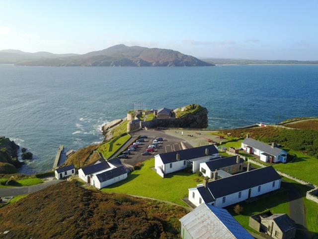 Former Dristernan Fairy FortFairy fort / ringfort · 569 yd
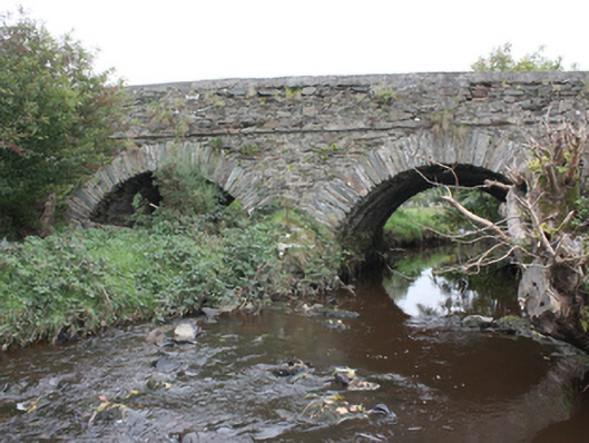 Milltown Bridgebridge · 1087 yd
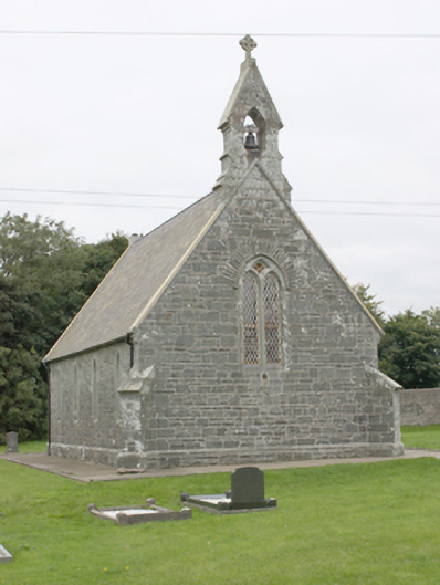 All Saints Church of Ireland Churchchurch/chapel · 1291 yd
 CrockavishaneMountain / peak · 3.3 mi
 CuldaffOfficial bathing water · 3.6 mi
 CroaghmoreMountain / peak · 4.0 mi
 Tremone BayBeach / strand · 4.1 mi
 CastleCastle, unclassified · 4.2 mi
 Carndonagh Early Church GraveyardGraveyard · 4.6 mi
 Castle CaryCastle, unclassified · 5.2 mi
 Cooley CrossMemorial · 5.2 mi