What is recorded here
At the S end of a low hill overlooking a small stream and turlough to the S. This medieval nave and chancel church (19.4m E-W; 4.5m N-S) is very poorly preserved and densely overgrown with ivy. It stands at NW edge of an irregularly shaped graveyard (GA104-151003-). A survey by Chappel (2001, 6-11) indicates that number of phases of construction are discernible and that the earliest part of the church appears to be the E gable, which dates to the late 12th/early 13th century. Its lower courses, which are battered, bear an in-situ dressed stone with diagonal tooling in the external wall face and an aumbry at the S end of the internal face that is similarly dressed. The church appears to have been remodelled and extended to the W in the late 15th/early 16th century when the majority of this gable was demolished and rebuilt. During this phase a number of dressed stones bearing diagonal tooling were reused in the wall fabric and the squat two-light ogee-headed window was inserted. Based on its construction and the form of the ogee-headed doorway and the two narrow single-light windows in the S wall, which are of 15th/16th century date, it appears that this wall is contemporary with the remodelling of the E gable. However, as would be expected, these walls are not bonded into each other. The W end of the S wall appears to have subsequently become unstable as a buttress was built against it. A double water stoup is visible on the W side of the doorway. The dressing on a quoin stone in the W gable, which stands to its full height, suggests that it dates from the late 16th/early 17th century. A number of dressed stones dating to the two earlier phases of construction were reused in its fabric. High up in the gable there is a single-light pointed window. Most of the N wall stood to its original height until 1988 when its upper five or six courses were demolished; the resulting rubble is in the adjoining field to the N (SMR file). The OS Letters (O’Flanagan 1927, Vol. 1, 183) indicate that the W end of this wall had been pulled down and rebuilt. Apart from an offset near its E end no architectural features survive and so it is difficult to date this wall. Chappel (ibid., 10) suggests it may be of late 15th/early 16th century date and may also be of two phases of construction. The interior of the church is filled with graves dating from the late medieval period (see GA104-151005- to GA104-151009-) to the 20th century. A number of architectural fragments from the church have been reused as grave-markers in the graveyard. There is a Man-made underground passage (GA104-151002-) c. 30m to the W and a house (GA104-151004-) is also associated.
Compiled by: Galway Archaeological Survey, UCG
Date of upload: 4 March 2020
The monument record does not grant public access. Check the route and ask the landowner before entering private land.
- What survives
- Recorded monument
Places near here
 IndicatedFairy fort / ringfort · 679 yd
 Roo Castle (in ruins)Castle, tower house · 710 yd
 LisdooFairy fort / stone ringfort · 831 yd
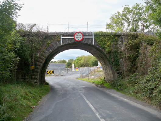 Aggard Bridgebridge · 855 yd
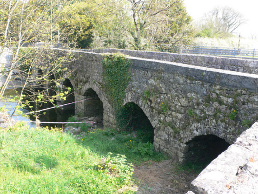 bridgebridge · 922 yd
 CarnanthomasCastle, unclassified · 1.2 mi
 Moyard WoodWood · 3.1 mi
 Kilcornan WoodWood · 4.9 mi
 MweenisharanIslet · 8.6 mi
 LissataggartFairy fort / earthen ringfort · 841 yd
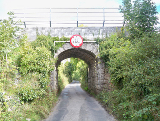 Grenage Bridgebridge · 961 yd
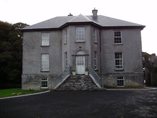 Aggard Housecountry house · 1155 yd