What is recorded here
Killeeshal Fort in County Carlow was a moated site where a square enclosure with a fosse and bank overlain a larger earthwork complex containing a ringfort and smaller circular enclosure. A sixth or seventh-century terminal and a fourteenth or fifteenth-century pendant surfaced there, suggesting the place remained occupied or remembered across a long stretch of time. The complex has since been levelled, but the buried line of its ditch and the shapes of its enclosures still mark the field as a place where people lived, defended themselves and left behind small bright things.
The following description is derived from the published 'Archaeological Inventory of County Carlow' (Dublin: Stationery Office, 1993). In certain instances the entries have been revised and updated in the light of recent research.
Date of upload/revision: 8 July 2011
Revised by: Claire Breen
Aerial photographs (CUCAP BGH 36, 37) show complex of earthworks consisting of large enclosure (CW007-042004-) (est max. diam. c. 100m) marked on 1938-9 OS 6-inch map, enclosing at N smaller circular enclosure (CW007-042002-), probably a ringfort (est max. diam. c. 30m) and traces of what may be a much smaller circular enclosure (CW007-042003-) (est max. diam. c 15m) to E of ringfort and between ringfort and bank of large enclosure. At S, large enclosure is overlain by approximately square enclosure (CW007-042001-) with fosse and bank (est max. dims. c 40m N-S x 40m E-W), probably moated site (also shown on 1938-9 OS 6-inch map). Aerial photograph (GB90.BE.07, 13 July 1990) shows cropmarks of a large enclosure (CW007-042005-) defined by a fosse attached to the S and E of the moated site (CW007-042001); also traces of a possible trackway and related field boundaries.
Sixth/seventh-century terminal found at complex probably came from ringfort. Fourteenth/fifteenth-century pendant also found (NMI file). Complex has been levelled.
The monument record does not grant public access. Check the route and ask the landowner before entering private land.
- What survives
- Recorded monument
Places near here
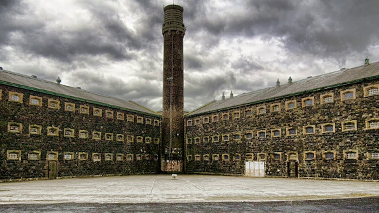 Enclosure in KilleeshalEnclosure · 35 yd
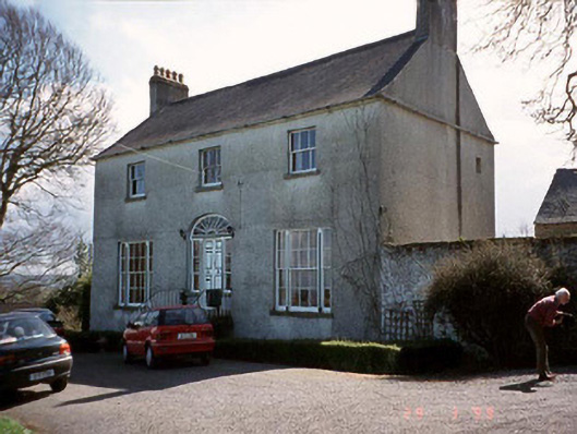 Saint John's Church (Cloydagh)rectory/glebe/vicarage/curate's house · 654 yd
 Enclosure in FonthillEnclosure · 923 yd
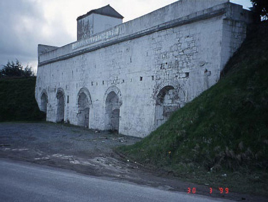 Clogrennane Lime Workskiln · 990 yd
 Church (in ruins), GraveyardChurch · 1453 yd
 Clogrenan CastleCastle, tower house · 1623 yd
 Graveyard in Tomard Lower (3 Detached Portions)Graveyard · 2.0 mi
 Pedunculate OakPedunculate Oak · 2.7 mi
 Carlow CastleRuined medieval castle · 3.0 mi
 CastleCastle, Anglo-Norman masonry castle · 3.1 mi
 Carlow County MuseumMuseum · 3.2 mi
 Gallows HillMountain / peak · 3.4 mi