What is recorded here
Killeen Burial Gd. (Disused) is a children's burial ground on a low mound above Kenmare Bay in County Kerry. Uninscribed markers still stand in rows within the marshy pasture, while a collapsed stone circle nearby hints at a forgotten hut. The place holds small losses and old domestic life beneath the open sky.
This site is located on a low mound surrounded by marshy pasture, and overlooks Kenmare Bay to S. Approximately rectangular in plan, 20m N-S x 16m E-W, it is bounded by modern field walls at N and W. A portion of the original enclosing bank is preserved on the inner side of the wall at N. This is 8m long, 1.6m wide and .6m high externally, and is constructed of coursed facing enclosing a rubble core. A group of uninscribed grave-markers occurs in the SW quadrant of the site. These average .4m high and generally occur in rows. In the SE quadrant there is a roughly circular area of stone collapse which may be the remnants of a hut site.
The above description is derived from A. O'Sullivan and J. Sheehan (compilers), 'The Iveragh peninsula: an archaeological survey of South Kerry'. Cork University Press (1996), no. 990. In certain instances the entries have been revised and updated in the light of recent research.
Date of upload: 30 July 2013
Neolithic passage tomb, dating to approximately 3500–2500 BCE. Its location on a low mound overlooking Kenmare Bay suggests a strategic and ceremonial significance within the prehistoric landscape.
The monument record does not grant public access. Check the route and ask the landowner before entering private land.
- What survives
- Recorded monument
Places near here
 SheepfoldHut site · 147 yd
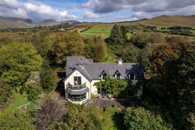 Enclosure in Coomnakilla SouthEnclosure · 1411 yd
 Dromore CastleCastle · 1.7 mi
 Blackwater Bridgebridge · 1.9 mi
 Blackwater Cottagehouse · 1.9 mi
 Cappanacush Castle (ruins)Castle · 2.0 mi
 Lackeen PointHeadland · 2.4 mi
 Coss StrandBeach / strand · 2.4 mi
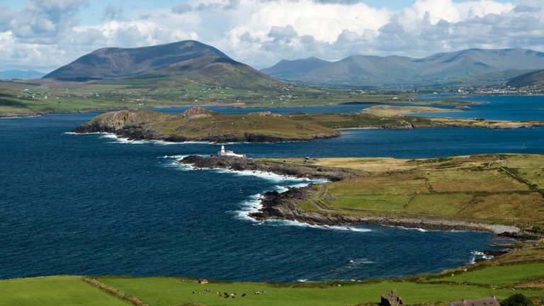 Letter SouthMountain / peak · 3.3 mi
 KnocklomenaMountain / peak · 3.4 mi
 Dinish IslandIslet · 3.9 mi
 Dunkerron Island WestIslet · 3.9 mi