What is recorded here
Killeen is a small rectangular burial ground in County Cork, Ireland, where scattered stones still mark the quiet work of remembering the dead. Its low rubble wall leans against the field edge, suggesting people once shaped that rocky ground before forgetting took it back. The name appeared on maps decades after the place already existed, as if the land held its identity patiently until human tools caught up.
Not shown on 1842 and 1905 OS 6-inch maps. Shown on 1937 OS 6-inch map as rectangular enclosure and named 'Killeen'. In rocky overgrown area at edge of field of level tillage. Rectangular area (9.3m ENE-WSW; 4.2m NNW-SSE) enclosed by low collapsing rubble wall (H 0.3m; Wth 1.1m) to NNW and WSW, low rise to SSE and ENE. Interior level with numerous stones scattered throughout.
The above description is derived from the published 'Archaeological Inventory of County Cork. Volume 4: North Cork' (Dublin: Stationery Office, 2000). In certain instances the entries have been revised and updated in the light of recent research.
Date of upload/revision: 14 January 2009
The monument record does not grant public access. Check the route and ask the landowner before entering private land.
- What survives
- Recorded monument
Places near here
 Fulacht FiadhFulacht fia · 396 yd
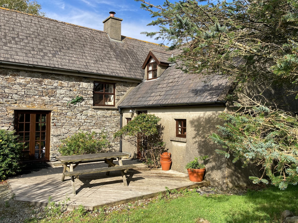 Enclosure in Boherascrub WestEnclosure · 526 yd
 Bawn of Kilmaclenine (in Ruins)House, fortified house · 1249 yd
 Kilmaclenine CastleCastle · 1339 yd
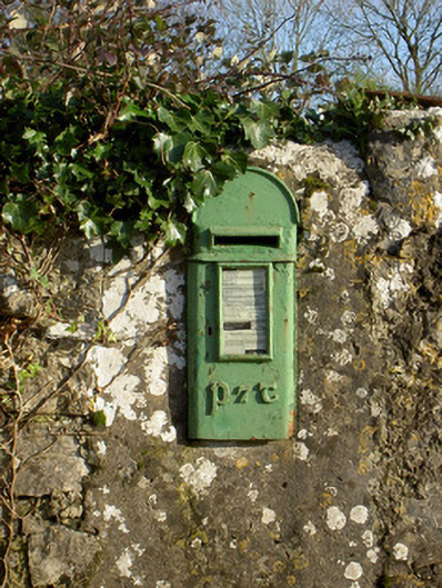 post boxpost box · 1440 yd
 Kilmaclenine Church (in Ruins)Church · 1633 yd
 Lady's WellSpring · 1.2 mi
 Graveyard in Ballygiblin (duhallow By.)Graveyard · 3.8 mi
 Battle of LiscarrollMajor battlefield · 4.3 mi
 European YewEuropean Yew · 5.2 mi
 Burial ground in AssolasBurial ground · 5.4 mi
 St Fursey's WellSpring · 7.8 mi