
What is recorded here
Surviving section of cobbled military road within Massy's Woods, c.1780. Bridge over the Owendoher with cyclopean stonework leads to best preserved section of road beneath revetment walls, and showing cobbled gutters. Further west the road becomes a forest track and vanishes into woodland beneath modern Killakee Road.
This section of military road has miraculously escaped modern resurfacing, and in places can be seen in its earlier form. Most is covered with storm-washed material, but this is further preserving the fabric. The singular most impressive feature is the bridge in the east, when observed from upstream. Its presence adds further importance to the Killakee Estate through which it runs.
This does not grant access. Most recorded buildings are privately owned; view them only from public ground unless the owner allows entry.
Places near here
 Massy's GardensRuins · 314 yd
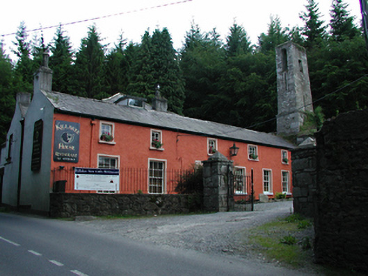 Killakee Househouse · 361 yd
 Standing StoneArchaeological place · 538 yd
 Enclosure in KillakeeEnclosure · 571 yd
 Massey WoodWood · 622 yd
 Dublin Mountains Way Hellfire & Massey SpurWalking route · 930 yd
 Montpelier HillMountain / peak · 1014 yd
 Dublin Mountains Way - Hellfire & Massey spurWalking route · 1091 yd
 Hellfire WoodForest · 1320 yd
 Carty's CastleRuins · 1.0 mi
 Slieve GorraMountain / peak · 1.1 mi
 Stocking Wood NewsVisitor information · 1.3 mi
Other information
Photo: National Inventory of Architectural Heritage · Website use allowed for educational or private purposes with source credit