What is recorded here
On a slight rise in undulating farmland. This CBG consists of a poorly preserved subrectangular area (E-W 15m, N-S 8m) defined by a low bank along W, N, and E sides and by a modern wall at S. The interior, particularly E half, is occupied by small set limestone boulders aligned in N-S running rows, indicating graves oriented E-W.
The above description is derived from the published 'Archaeological Inventory of County Galway Vol. II - North Galway'. Compiled by Olive Alcock, Kathy de hÓra and Paul Gosling (Dublin: Stationery Office, 1999).
Date of upload: 05 August 2010
The monument record does not grant public access. Check the route and ask the landowner before entering private land.
- What survives
- Recorded monument
Places near here
 Enclosure in TrustEnclosure · 379 yd
 LiscoonaFairy fort / ringfort · 784 yd
 Ballynabanaba CastleCastle, tower house · 831 yd
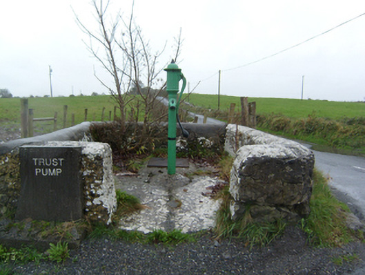 water pumpwater pump · 1236 yd
 Barnavihall Ho.Country house · 1443 yd
 Castle (in Ruins)Castle, unclassified · 1.1 mi
 Kilconnell AbbeyHeritage attraction · 1.8 mi
 European ashEuropean ash · 2.9 mi
 SycamoreSycamore · 3.0 mi
 Battle of Aughrim Interpretative CentreMuseum · 5.0 mi
 Battle of AughrimMajor battlefield · 5.6 mi
 The bloody HollowHeritage attraction · 5.8 mi