
What is recorded here
In pasture, on gentle E-facing slope, on W side of Glandore estuary. Rectangular enclosure (14.5m NE-SW; 6.3m NW-SE) defined by stone wall (H 0.8m; Wth c. 0.95m); area inside raised up to near top of walls - uneven surface with loose stones. Smith (1750 vol. 1, 263) stated 'at Carigiliky...extensive ruins were discovered...of the Abbey de Sancto Mauro'. This assertion that here is a Cistercian abbey, is supported by local tradition (O'Sullivan 1944, 1-9). However, the correct location of this abbey would appear to be at Aghmanister (CO136-022---), being moved later to Abbey Mahon (CO136-030003-) (Gwynn and Hadcock 1988, 125; Stalley 1987, 241). However, there is no doubt that this is site of burial ground of some antiquity.
The above description is derived from the published 'Archaeological Inventory of County Cork. Volume 1: West Cork' (Dublin: Stationery Office, 1992). In certain instances the entries have been revised and updated in the light of recent research.
Date of upload/revision: 14 January 2009
The monument record does not grant public access. Check the route and ask the landowner before entering private land.
- What survives
- Recorded monument
Places near here
 Seaview Housefarm house · 86 yd
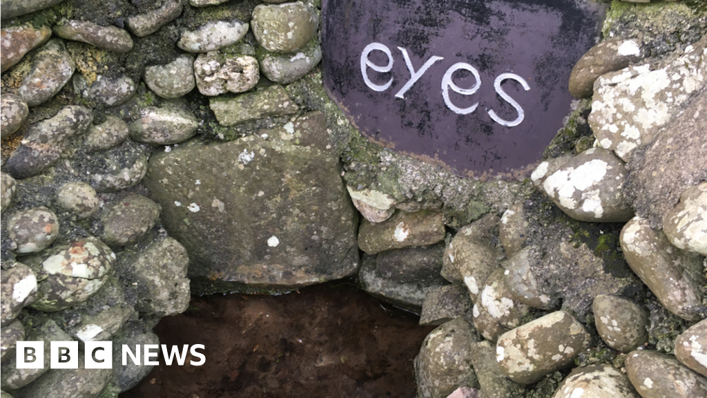 Holy well in CarrigillihyHoly well · 167 yd
 Enclosure in CarrigillihyEnclosure · 245 yd
 Carraig-ín MhóireNamed rock · 551 yd
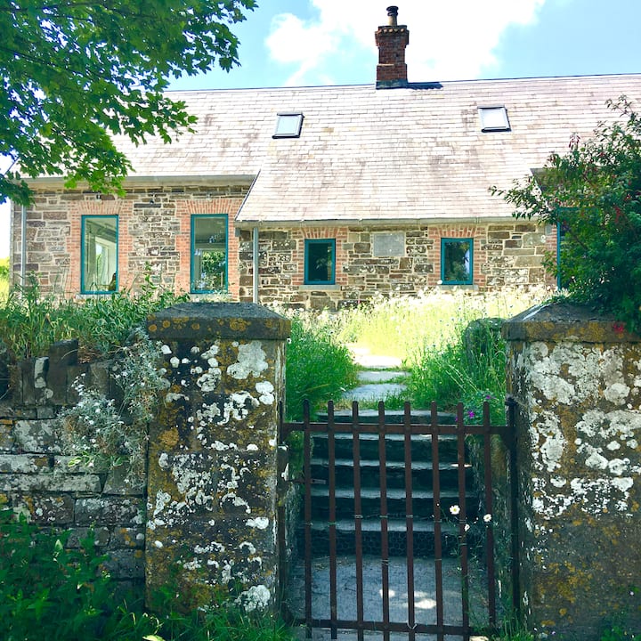 Strand of the Old HouseBeach / strand · 554 yd
 Cuas DallBeach / strand · 630 yd
 Faill na BristeCliff · 754 yd
 Eve IslandIslet · 971 yd
 Adam's IslandIslet · 1333 yd
 Seomraí Faoi ThalamhCave · 1363 yd
 Cooks WoodWood · 1725 yd
 Péicin Thalamh na GainmheMountain / peak · 1.0 mi
Other information
Photo: Credit not shown in the picture search · Rights wording not checked; contact us if this picture should be removed