What is recorded here
In pasture, on top of a hill. This graveyard was levelled in 1973 and is not visible at ground level. It is indicated as a square enclosure (20m x 20m) on the 1846 OS 6-inch map and as a rectangular enclosure (c. 50m E-W; c. 30m N-S) on the 1895 OS 6-inch map. According to local information, in the 1940s uninscribed grave-markers were removed and taken to the present church in Milltown and placed next to a grotto. In the ????s 'several large mounds', a few of which the then owner, Mr. Quinlan, 'had disturbed and then put back when he found they were graves', were recorded here (Minutes of the Co. Kerry Field Club). According to local information, two quernstones (KE057-012003-, KE057-012004-) were found here during the 1940s. One of these stones is now located in the farmyard of Kilvanagh Farm and other is in the Heritage Centre in Milltown.
Compiled by: Elizabeth Byrne, Ursula Egan and Sheila Ronan, Archaeological Survey Unit, University College, Cork.
Date of upload: 31 January 2011
The monument record does not grant public access. Check the route and ask the landowner before entering private land.
- What survives
- Recorded monument
Places near here
 Burnt spread in FarranmanaghBurnt spread · 578 yd
 Fulacht fia in KillaclohaneFulacht fia · 1074 yd
 The Kerry Creamery ExperienceHeritage attraction · 1.7 mi
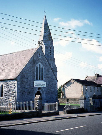 Catholic Church of the Sacred Heartchurch/chapel · 1.8 mi
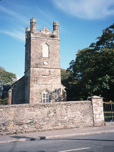 Milltown Church (Kilcolman)church/chapel · 1.8 mi
 CastleCastle, tower house · 2.0 mi
 Site of Castle MaineCastle, Anglo-Norman masonry castle · 2.3 mi
 Clash IslandIslet · 4.1 mi
 Cloon IslandIsland · 4.5 mi
 Ballygamboon Forest Recreation AreaWood · 4.6 mi
 King Puck statueMemorial · 5.1 mi
 LisnagraveArchaeological place · 5.4 mi