
What is recorded here
In pasture on S-facing slope just S of burial ground (CO135-010002-). Rectangular area (18m E-W; 7m N-S) defined by stone wall to W and N and rock outcrop to E and S. No grave markers noted.
The above description is derived from the published 'Archaeological Inventory of County Cork. Volume 1: West Cork' (Dublin: Stationery Office, 1992). In certain instances the entries have been revised and updated in the light of recent research.
Date of upload/revision: 14 January 2009
The monument record does not grant public access. Check the route and ask the landowner before entering private land.
- What survives
- Recorded monument
Places near here
 CaveMan-made underground passage · 48 yd
 Tuck MillMilling complex · 968 yd
 Castle (Site of)Castle, unclassified · 988 yd
 Kilgarrif Church (in Ruins)Church · 1715 yd
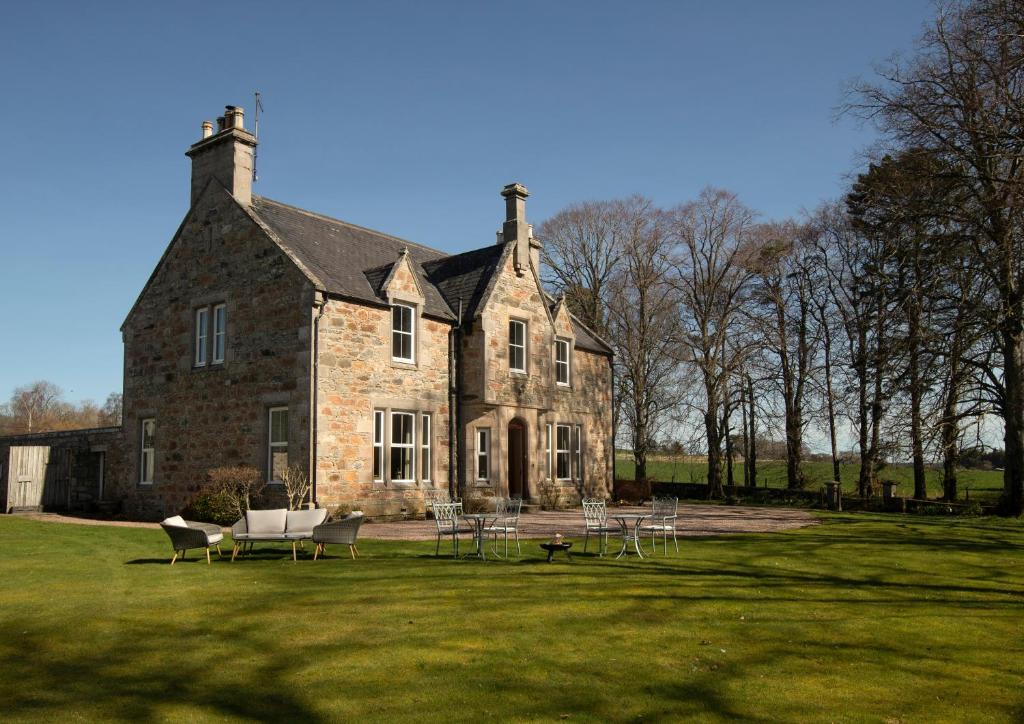 Country house in Letter (carbery East (w.d) By.)Country house · 1.1 mi
 Clonakilty Blackpudding Visitor CentreHeritage attraction · 1.8 mi
 Clasharusheen Mansion (Site of)Castle, unclassified · 2.0 mi
 Cloch na gCoillteMemorial · 2.1 mi
 Michael Collins House MuseumMuseum · 2.1 mi
 Clonakilty Tourist OfficeVisitor information · 2.2 mi
 Battle of the Big Cross (1798) Memorial MonumentMonument · 2.5 mi
 Michael Collins MemorialMemorial · 2.7 mi
Other information
Photo: Credit not shown in the picture search · Rights wording not checked; contact us if this picture should be removed