
What is recorded here
Kill Burial Gd stands on a south-facing slope in County Cork, marked on the 1842 Ordnance Survey map as a disused burial ground. The raised rectangular area measures 49 metres east-west and 42 metres north-south, bounded by a low wall to the west and north, with field fences completing the east and south edges. One headstone remains visible beneath heavy growth, hinting at lives once laid to rest in this quiet corner of West Cork.
On S-facing slope. Marked 'Kill Burial Gd' on OS 6-inch map (1842). Raised rectangular area (49m E-W; 42m N-S) bounded by wall (H 0.8m) to W and N; field fence to E and S. One headstone noted. Heavily overgrown.
The above description is derived from the published 'Archaeological Inventory of County Cork. Volume 1: West Cork' (Dublin: Stationery Office, 1992). In certain instances the entries have been revised and updated in the light of recent research.
Date of upload/revision: 14 January 2009
The monument record does not grant public access. Check the route and ask the landowner before entering private land.
- What survives
- Recorded monument
Places near here
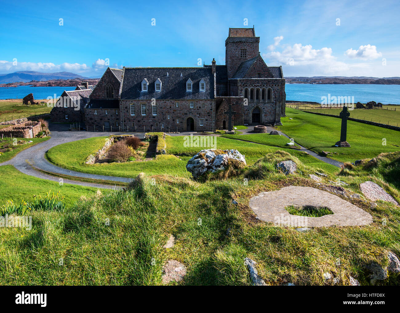 Burial Place for ChildrenBurial ground · 1.2 mi
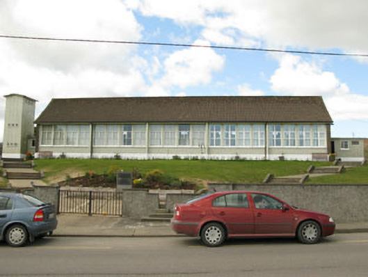 Scoil Mhuire Draighneaghschool · 1.2 mi
 Sacred Heart Roman Catholic Churchchurch/chapel · 1.2 mi
 Graveyard in ToughmacdermodyGraveyard · 1.5 mi
 Childrens Burial Gd (Disused)Burial ground · 1.6 mi
 Milane HillMountain / peak · 2.7 mi
 Mohona WoodWood · 3.5 mi
 CarrigfaddaMountain / peak · 3.7 mi
 Cross commemorating Holy Day.Memorial · 3.7 mi
 Drimoleague Heritage Loop WalkWalking route · 4.1 mi
 Moyny Bridge WalkWalking route · 4.4 mi
 Castle (Site of)Castle, Anglo-Norman masonry castle · 4.5 mi
Other information
Photo: Credit not shown in the picture search · Rights wording not checked; contact us if this picture should be removed