
What is recorded here
Kill Burial Ground is a disused circular burial site on a north-facing slope in County Cork, marked by low protruding stones and an earthen bank that still holds its shape beside pasture. It sits within a hundred metres of Tobernakilla holy well, suggesting death and renewal shared one landscape long before records named either. The bank rises higher on the west and cuts into the hillside on the east, as if the ground itself helped carry the weight of what was laid there.
Named 'Kill Burial Ground' on 1842 OS 6-inch map. In pasture, on N-facing slope. Tobernakilla holy well (CO082-067----) c. 100m to N. Circular area (diam. c. 14m), enclosed by earthen bank (H 0.6m) W->E, cut into hillside (H 1.1m) E->W. Interior level; low protruding stones probably mark burials.
The above description is derived from the published 'Archaeological Inventory of County Cork. Volume 3: Mid Cork' (Dublin: Stationery Office, 1997). In certain instances the entries have been revised and updated in the light of recent research.
Date of upload/revision: 14 January 2009
A Neolithic circular enclosure or ring bank, dating to the 4th–3rd millennium BCE. Its proximity to a holy well suggests possible ritual or ceremonial significance.
The monument record does not grant public access. Check the route and ask the landowner before entering private land.
- What survives
- Recorded monument
Places near here
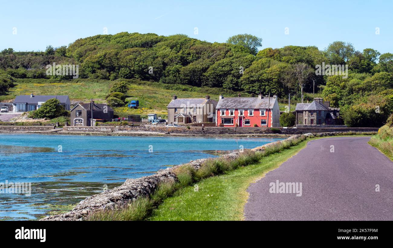 TobernakillaHoly well · 99 yd
 Carrigboy Castlehouse · 580 yd
 Country house in Carrigboy (muskerry West By.)Country house · 592 yd
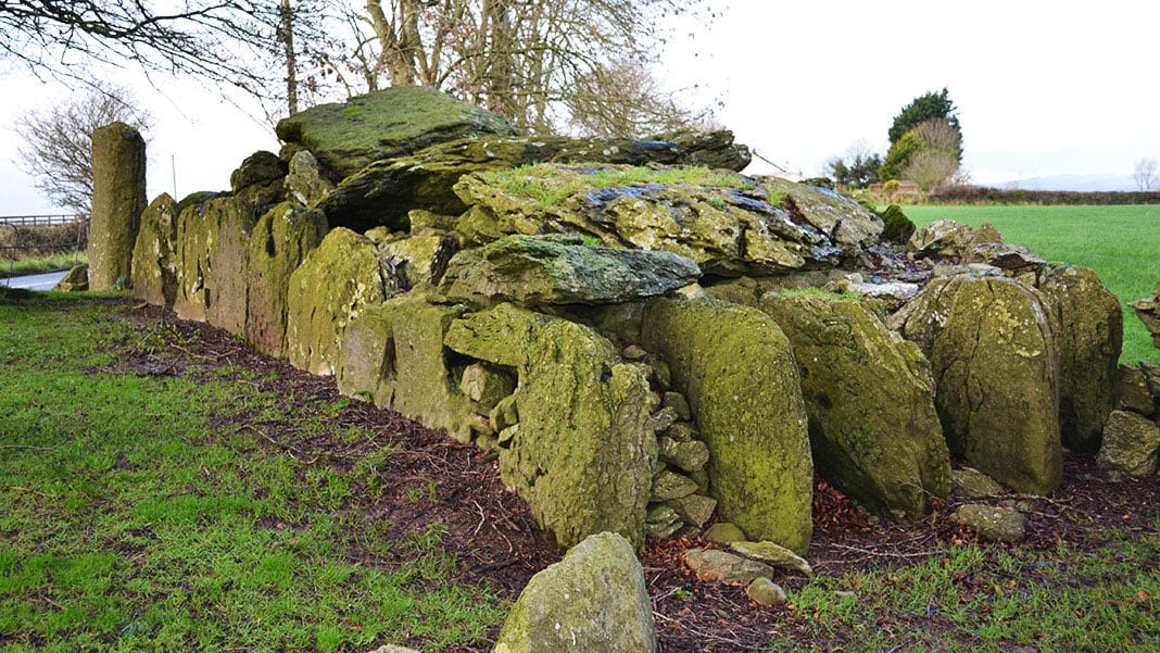 Wedge tomb in Carrigboy (muskerry West By.)Wedge tomb · 652 yd
 Kilmichael Ambush SiteMonument · 1.4 mi
 Kilmichael Ambushambush · 1.5 mi
 Dromcarra Castle (in Ruins)Castle, tower house · 2.2 mi
 Castle (Site of)Castle, unclassified · 2.7 mi
 The Gearagh Nature ReserveNature reserve · 4.1 mi
 Castle RockNamed rock · 4.9 mi
 Port Ban Nature Reserve, Irish Wildlife TrustNature reserve · 4.9 mi
 Gortnahoughtee Mass RockNamed rock · 5.8 mi
Other information
Photo: Credit not shown in the picture search · Rights wording not checked; contact us if this picture should be removed