
What is recorded here
In undulating grassland, located on a low elevation, with a gradual fall of ground for 100m to S to the banks of the Rathroe River, which marks the townland boundary. Overlooked to W by rising ground. This graveyard is named ‘Kilfian’ on the 1838 OS 6-inch map, and is indicated as a polygonal enclosed area (c. 30m…
Read the whole record
From the National Monuments Service (Archaeological Survey of Ireland) record MA021-035002
Places near here
Photo credits
- Maker not stated on source page, www.joinmychurch.com
- Maker not stated on source page, www.pinterest.com
- Maker not stated on source page, stock.adobe.com
- National Inventory of Architectural Heritage
- Mike Searle, Wikimedia Commons · CC BY-SA 2.0
- Maker not stated on source page, caerphilly.observer
- Maker not stated on source page, en.wikipedia.org
- Maker not stated on source page, es.pinterest.com
- Kmcnamee, Wikimedia Commons · CC BY-SA 4.0
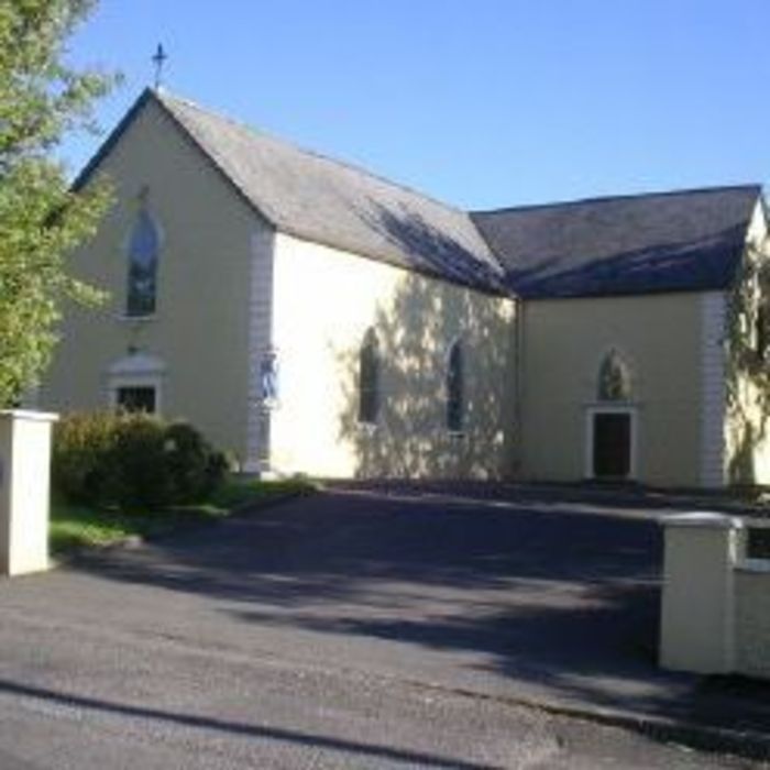 Church in SeeaghanbaunChurch · 1 yd
Explorer Tom Church in Seeaghanbaun is gone, but the bishop who refused to visit still haunts the cross-slab with pure spite. He…
 Kilfian Old GraveyardCemetery · 13 yd
Explorer Tom Kilfian Old Graveyard in County Mayo has strict rules for visitors: you must whisper, you must tread lightly, and you…
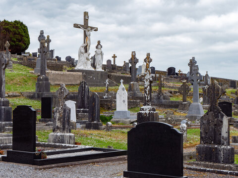 Kilfian New CemeteryCemetery · 123 yd
Explorer Tom Kilfian New Cemetery in County Mayo has a favourite song, which is just the sound of wind whistling through the gap in…
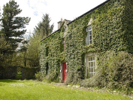 Smithstown HouseFarm house · 819 yd
Explorer Tom Smithstown House would tell its younger self to stop worrying about the limestone and start enjoying the sunsets. It…
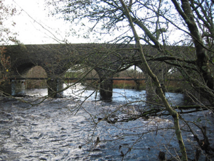 Tonrehown BridgeBridge · 932 yd
Explorer Tom Tonrehown Bridge in Ballinagavna is strutting across the river like it invented arches. A prophecy says it will float…
 Rathroe CastleCastle · 1683 yd
Explorer Tom Rathroe Castle would win the lotto by buying a really big umbrella and wearing it like a hat. It’s got that quiet…
 Rathroe Castle (in Ruins)Castle, tower house · 1684 yd
Explorer Tom Rathroe Castle was saved by a hero nobody remembers, who probably just pushed a rock out of the way. The tower house…
 Church in DrinaghanChurch · 1.1 mi
Explorer Tom Church in Drinaghan is picking on it because the wind hates its architecture. It had an endowment of land, which sounds…
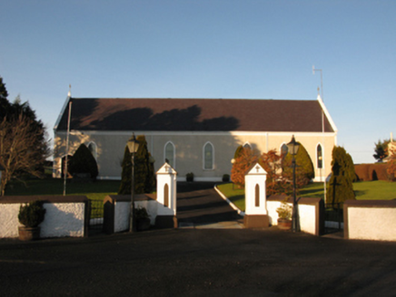 Catholic Church of the Sacred HeartChurch/chapel · 1.2 mi
Explorer Tom Catholic Church of the Sacred Heart in Kincon reviews its visitors like a strict aunt. It thinks your outfit lacks…
 Earthwork in Carn (tirawley By., Moygawnagh. Par.)Earthwork · 2.0 mi
Explorer Tom Earthwork in Carn is the quiet uncle at the wedding who stands by the buffet table judging everyone’s food choices…
 Megalithic tomb in BelladooanMegalithic tomb · 2.1 mi
Explorer Tom Megalithic tomb in Belladooan is bitter about not being as famous as the big boys. It spends its days glaring at the…
 Fr Gilroy Memorial Park, Moygownagh GAAGAA ground · 2.7 mi
More archaeology and monuments in County Mayo · All of County Mayo

What do you know about this place?Tap to add a comment or ask a question