
What is recorded here
Subrectangular shaped area (35m N-S) defined by slight remains of an earthen bank and rough stone wall, situated on a slight rise. No obvious grave markers, site overgrown at time of visit. Modern water tower in NE angle. The following folklore was recorded from Walsh Island school in 1938; 'There is a field there called "The Relic" meaning graveyard. It was formerly a burial place for unbaptised children. Adjoining this graveyard is a long stone wall called the Range wall. It is built of peculiar field stones which are perfectly round. At one end of this wall there was an old schoolhouse long ago. A schoolmaster by the name of Kennefick taught there' (The Schools’ Collection, Volume 0803, Page 065)
The above description is derived from the published 'Archaeological Inventory of County Offaly' (Dublin: Stationery Office, 1997). In certain instances the entries have been revised and updated in the light of recent research.
Compiled and revised by: Caimin O'Brien
Date of revised upload: 25 April 2019
The monument record does not grant public access. Check the route and ask the landowner before entering private land.
- What survives
- Recorded monument
Places near here
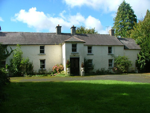 Ballaghassaan Housefarm house · 814 yd
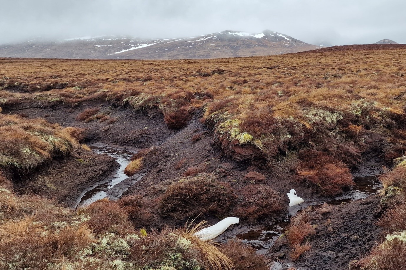 StructureStructure, peatland · 1650 yd
 OutlinedChurch · 1658 yd
 Ballynakill Grave Yard (Site of)Burial ground · 1.2 mi
 Mountlucas Wind Farm Visitors CentreVisitor information · 1.5 mi
 Allen family memorial headstoneMemorial · 1.7 mi
 Raheenakeeran Castle (in ruins)Castle, unclassified · 2.1 mi
 Cashlan BrockCastle, tower house · 2.2 mi
 The Lord's WellSpring · 3.0 mi
 Father BurbageMemorial · 4.7 mi
 Geashill Glebe WalkVisitor information · 4.8 mi
 Ghaugher HillMountain / peak · 4.9 mi
Other information
Photo: Credit not shown in the picture search · Rights wording not checked; contact us if this picture should be removed