
What is recorded here
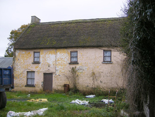
Indicated as small settlement on the 17th century Down Survey map of Kenry barony (Hib. Reg.). Annotated ‘Kildimo’ (Old) on 1840 OS map. Divided into two villages during the early nineteenth century, when a new mail road was built between Limerick and Tralee’ (Spellissy 1989, 193). No building here now older than late-18th century in appearance.
Compiled by: Denis Power
Date of Upload: 3 August 2012
The monument record does not grant public access. Check the route and ask the landowner before entering private land.
- What survives
- Recorded monument
Places near here
 Church in KildimoChurch · 306 yd
 Ashgrove Househouse · 690 yd
 Burial ground in KildimoBurial ground · 763 yd
 IndicatedEnclosure · 948 yd
 Cullam CastleCastle · 1.3 mi
 Bolane CastleCastle · 1.3 mi
 Celtic Park and GardensHeritage attraction · 1.6 mi
 Stonehall Visitor FarmHeritage attraction · 2.6 mi
 European BeechEuropean Beech · 3.1 mi
 European YewEuropean Yew · 3.7 mi
 St James's WellSpring · 4.1 mi
 Grass IslandIslet · 4.1 mi
Other information
Photo: Credit not shown in the picture search · Rights wording not checked; contact us if this picture should be removed