What is recorded here
Kilcrimple Grave Yard is a D-shaped burial ground on a north-facing slope in County Galway, marked on maps since 1838 but stripped of every headstone. A faint five-metre bank still circles the grass, hinting that the dead once needed a boundary before the living forgot the names inside it.
On a N-facing slope in pastureland. Marked on the 1838 edition of the OS 6-inch map as a roughly D-shaped unenclosed burial ground named 'Kilcrimple Grave Yard'; on the 1920 edition it is more rectilinear in plan (c. 33m NE-SW; c. 29m NW-SE). No headstones or grave-markers are visible. Traces of a levelled bank (Wth 5m; int. H 0.1m; ext. H 0.2m) suggest it was enclosed.
Compiled by: Olive Alcock
Date of upload: 30 February 2020
The monument record does not grant public access. Check the route and ask the landowner before entering private land.
- What survives
- Recorded monument
Places near here
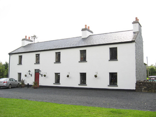 Cartron HouseRIC barracks · 374 yd
 CaveMan-made underground passage · 449 yd
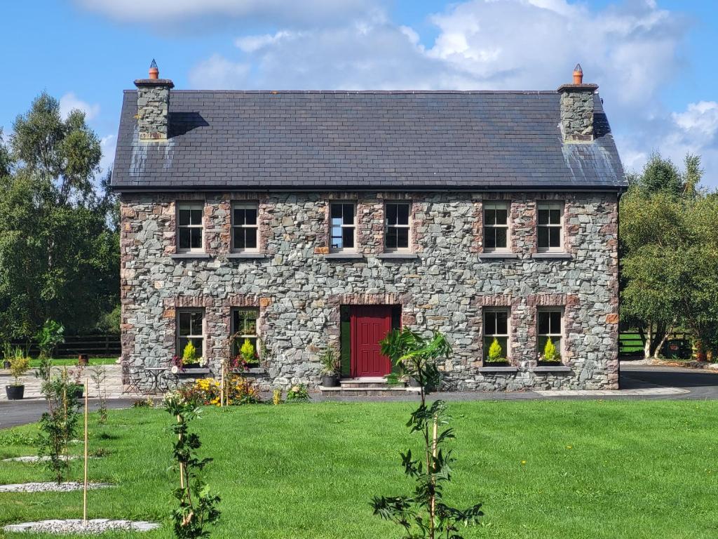 Country house in Carrowroe (marblehill Ed)Country house · 630 yd
 IndicatedEnclosure · 848 yd
 Coolfin Castle (in ruins)Castle, tower house · 3.6 mi
 Site of CastleCastle, unclassified · 3.8 mi
 Oak WoodForest · 4.8 mi
 Bog WoodForest · 5.0 mi
 TullymoreMountain / peak · 5.2 mi
 Friar's IslandIslet · 6.9 mi
 Abbey IslandIslet · 6.9 mi
 Stonyisland BayBay · 7.2 mi