
What is recorded here
Kilclief Castle stands in County Down, a castle whose name and form have survived while much of its history has not. What is missing is not a failure of imagination but an invitation to it: someone built, someone lived, someone left the place marked. The castle still belongs to that human chain, even when the names have thinned.
Kilclief Castle is recorded as a castle in County Down. Its open map record supplies this location and any linked names or public references.
Built by the MacDonnell clan in the 16th century, Kilclief Castle is remembered as a key stronghold during the Nine Years' War in Ireland, notable for its role in the resistance against English forces.
Places near here
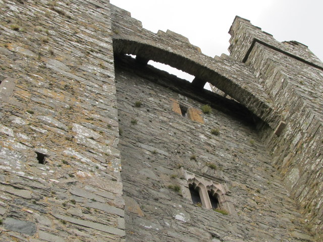 TOWER-HOUSE & C13th COFFIN LID: KILCLIEF CASTLE in KilcliefTOWER-HOUSE & C13th COFFIN LID: KILCLIEF CASTLE · 6 yd
 Kilclief BeachBeach / strand · 130 yd
 Parish ChurchChurch · 145 yd
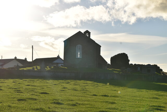 ANGLO-NORMAN COFFIN LIDS (2) (in C. of I. church) & site of MEDIEVAL CHURCH in KilcliefANGLO-NORMAN COFFIN LIDS (2) (in C. of I. church) & site of MEDIEVAL CHURCH · 153 yd
 Mullog PointHeadland · 800 yd
 Strangford Holiday Park Picnic AreaPicnic place · 1012 yd
 Enclosure (Rath?) in Ballyculter LowerEnclosure (Rath?) · 1.4 mi
 MEDIEVAL CHURCH (unlocated): ABBOT-GRANGE in BallywoodanMEDIEVAL CHURCH (unlocated): ABBOT-GRANGE · 1.5 mi
 Sandy IslandIslet · 1.7 mi
 Ballyquintin Point Nature ReserveNature reserve · 1.7 mi
 CHURCH & GRAVEYARD: BALLYCULTER, CHRISTCHURCH in Ballyculter UpperCHURCH & GRAVEYARD: BALLYCULTER, CHRISTCHURCH · 1.9 mi
 Ballyhornan Picnic SitePicnic place · 2.4 mi
Other information
Photo: Aubrey Dale · CC BY-SA 2.0