What is recorded here
Kilchreaghy Burial Ground is a half-forgotten grave field where tilling has erased most of its edges, leaving only a low ridge to mark the dead. It crouches beside the Owenwee river and sand dunes, perhaps holding bodies from before written memory. The land itself has swallowed its own history, forcing imagination to complete what measurement cannot.
Kilchreaghy graveyard is located 130m S of the Maghera mound (263). The land has been tilled here and the original extent of the site is not clear. A rise 16.7m NW-SE, 12.7m NE-SW and up to 1m in height survives. The site is bounded on the N and E by sand dunes and on the S by the valley of the Owenwee river.
The above description was derived from the 'Archaeological Survey of County Donegal. A description of the field antiquities of the County from the Mesolithic Period to the 17th century.' Compiled by: Brian Lacey with Eamon Cody, Claire Cotter, Judy Cuppage, Noel Dunne, Vincent Hurley, Celie O'Rahilly, Paul Walsh and Seán Ó Nualláin (Lifford: Donegal County Council, 1983). In certain instances the entries have been revised and updated.
Date of upload: 22 September 2008
The monument record does not grant public access. Check the route and ask the landowner before entering private land.
- What survives
- Recorded monument
Places near here
 Maghera CavesSea caves · 666 yd
 Maghera StrandBeach / strand · 978 yd
 Maghera WaterfallWaterfall · 1131 yd
 Assaranca Waterfallwaterfall · 1138 yd
 Cloghboy Stone RingfortFairy fort / stone ringfort · 1.5 mi
 O'Boyle's Fort at StonebrookNamed fort remains · 1.5 mi
 IllancreeveIslet · 1.5 mi
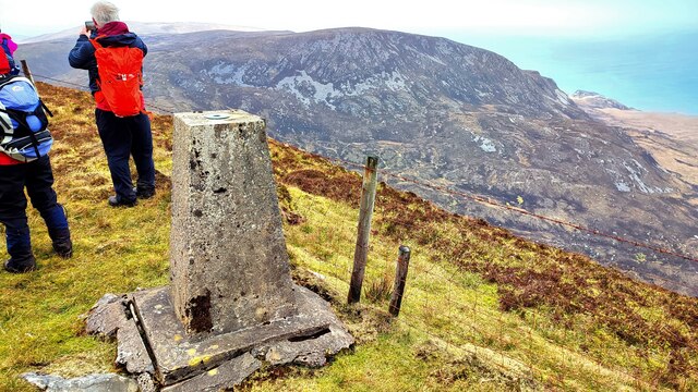 Sliabh TuaidhMountain / peak · 2.0 mi
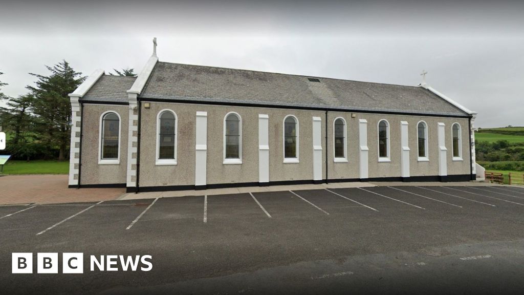 Church in KilcashelChurch · 2.5 mi
 outbuildingoutbuilding · 2.7 mi
 Carrickalahagh HeadlandPublicly named cliff or headland · 3.0 mi
 Tramore StrandBeach / strand · 3.2 mi