
What is recorded here
Internal Diam 14.6m E-W, 11.3m N-S. A subcircular area enclosed by a collapsed stone wall, a modern square structure is built of robbed stones on the E side. At the SE corner the beginnings of a modern wall runs off the cashel. A gap of 2.7m to the W seems to have been the original entrance. Rock outcrop has been incorporated in places in the cashel wall. The site is located on a bench of an E-W ridge with sparse rough vegetations.
The above description was derived from the 'Archaeological Survey of County Donegal. A description of the field antiquities of the County from the Mesolithic Period to the 17th century.' Compiled by: Brian Lacey with Eamon Cody, Claire Cotter, Judy Cuppage, Noel Dunne, Vincent Hurley, Celie O'Rahilly, Paul Walsh and Seán Ó Nualláin (Lifford: Donegal County Council, 1983). In certain instances the entries have been revised and updated.
Date of upload: 22 September 2008
A local fairy fort (ringfort/rath); wider significance not recorded.
The monument record does not grant public access. Check the route and ask the landowner before entering private land.
- What survives
- Recorded monument
Places near here
 Maghera CavesSea caves · 1.1 mi
 Drumirrin Former Stone Ringfort / Sheep PenFairy fort / stone ringfort · 1.1 mi
 Maghera StrandBeach / strand · 1.3 mi
 Liskeeraghan Stone RingfortFairy fort / stone ringfort · 1.7 mi
 Assaranca Waterfallwaterfall · 1.9 mi
 Maghera WaterfallWaterfall · 1.9 mi
 Tramore StrandBeach / strand · 2.1 mi
 Carrickalahagh HeadlandPublicly named cliff or headland · 2.1 mi
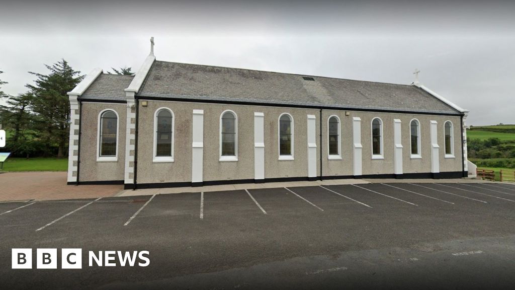 Church in KilcashelChurch · 2.3 mi
 IllancreeveIslet · 2.3 mi
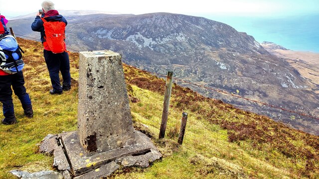 Sliabh TuaidhMountain / peak · 2.5 mi
 Church (in Ruins)Church · 2.7 mi
Other information
Photo: Credit not shown in the picture search · Rights wording not checked; contact us if this picture should be removed