What is recorded here
On the SW shoreline of Aghleam Bay, on the Mullet Peninsula. This graveyard is indicated on the 1838 OS 6-inch map as 'Kilbeg Grave Yard'. It is shown as a rectangular area (c. 35m N−S; c. 30m E−W), bordered at E and W by walls, at N by the shoreline, and at S by an E−W road. A cross-slab (MA024-081001-), named ‘Leaght Mc. Maheen’, is indicated in the SW corner. It is described in the OS Letters 1838 (O’Flanagan, 327 (170)) as follows: ‘On the brink of the strand of Feorin in the Townland of Tearmainn is still traceable the site of an old graveyard called Cill beg’. By the time of the 1921 OS 6-inch edition, the graveyard appears to have gone out of use and is indicated as ‘Site of’. There are no visible traces of the graveyard, although the cross-slab is still at this location.
Compiled by: Jane O'Shaughnessy
Date of upload: 17 November 2017
This remains an important historical record, but the official description says the monument is no longer visible or has been destroyed. The monument record does not grant public access. Check the route and ask the landowner before entering private land.
- What survives
- No visible remains or recorded as destroyed
Places near here
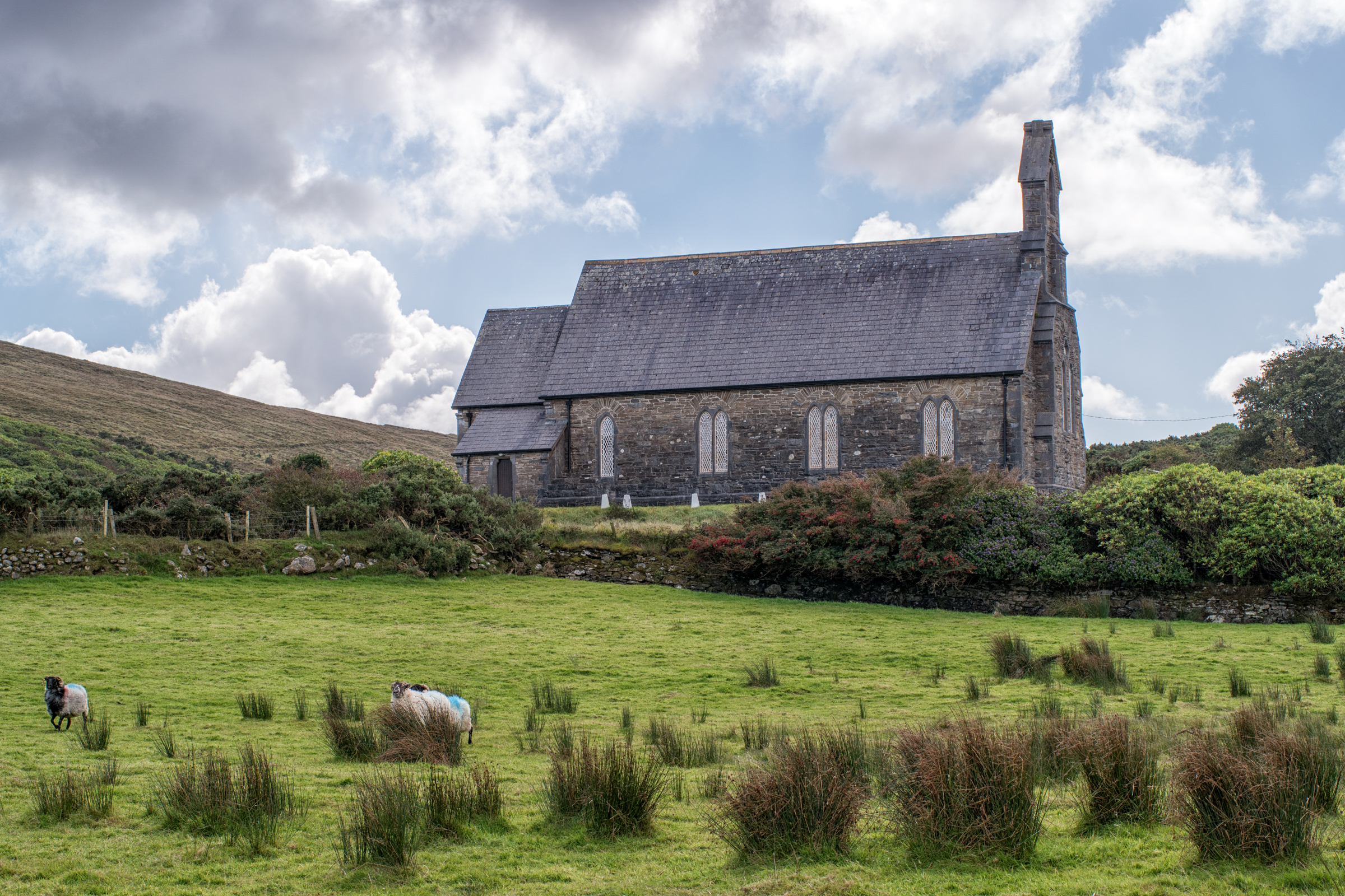 Church in An TearmannChurch · 13 yd
 Termon BeachBeach / strand · 406 yd
 TermonEcclesiastical site · 524 yd
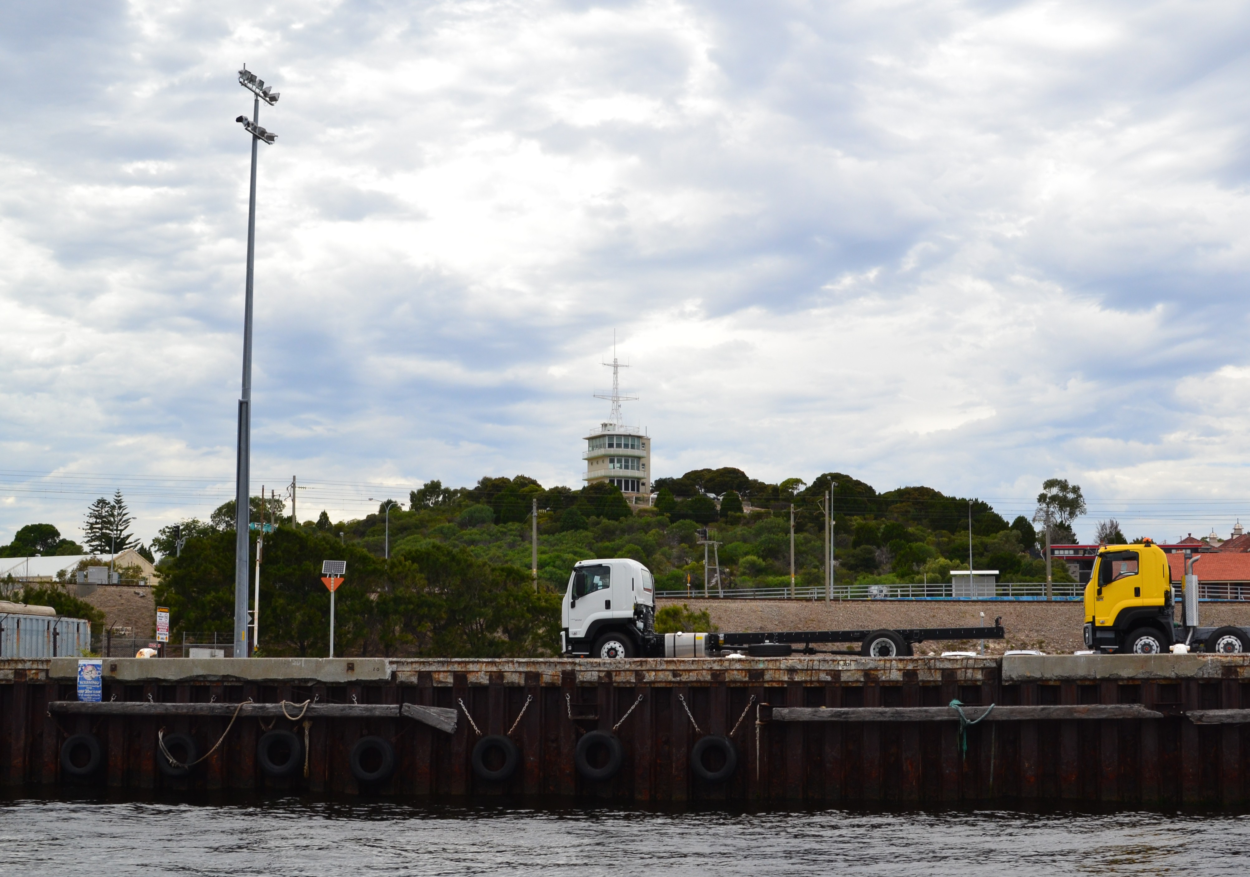 Termon Hill Signal StationRuins · 1023 yd
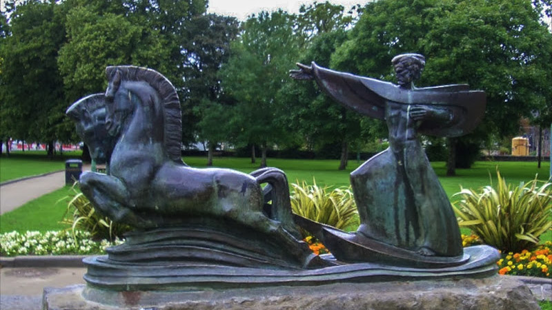 Tober GabrielHoly well · 1133 yd
 Trá Mullach RuaBeach / strand · 2.0 mi
 Léim an ReitheIslet · 2.3 mi
 Site of Redmond Barretts CastleCastle, unclassified · 2.5 mi
 CaolaighIslet · 3.1 mi
 Ceann FionnaltaHeadland · 4.0 mi
 Barranagh Castle in RuinsCastle, unclassified · 4.2 mi
 Cuan an Fhóid DuibhBay · 4.4 mi