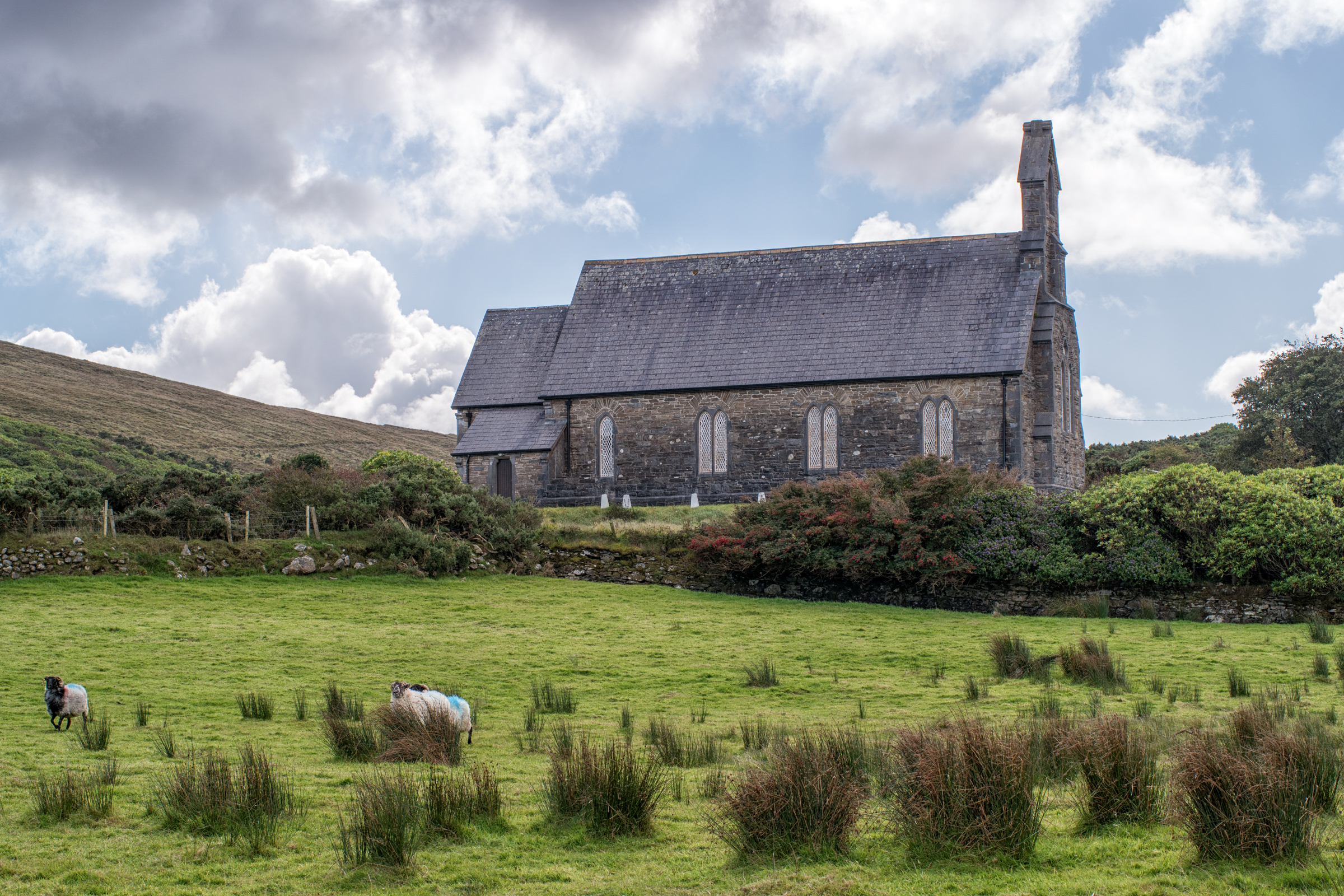
What is recorded here
The placename ‘Kilbeg’ suggests that there was a church associated with a graveyard (MA024-018002-), which is named ‘Kilbeg Graveyard’ on the 1838 and 1921 OS 6-inch maps. No trace of the church or graveyard is now evident, but there is a cross-slab (MA024-018001-) at the location.
Compiled by: Jane O'Shaughnessy
Date of upload: 17 November 2017
A local church or high cross; wider significance not recorded.
The monument record does not grant public access. Check the route and ask the landowner before entering private land.
- What survives
- Recorded monument
Places near here
 Termon BeachBeach / strand · 400 yd
 TermonEcclesiastical site · 511 yd
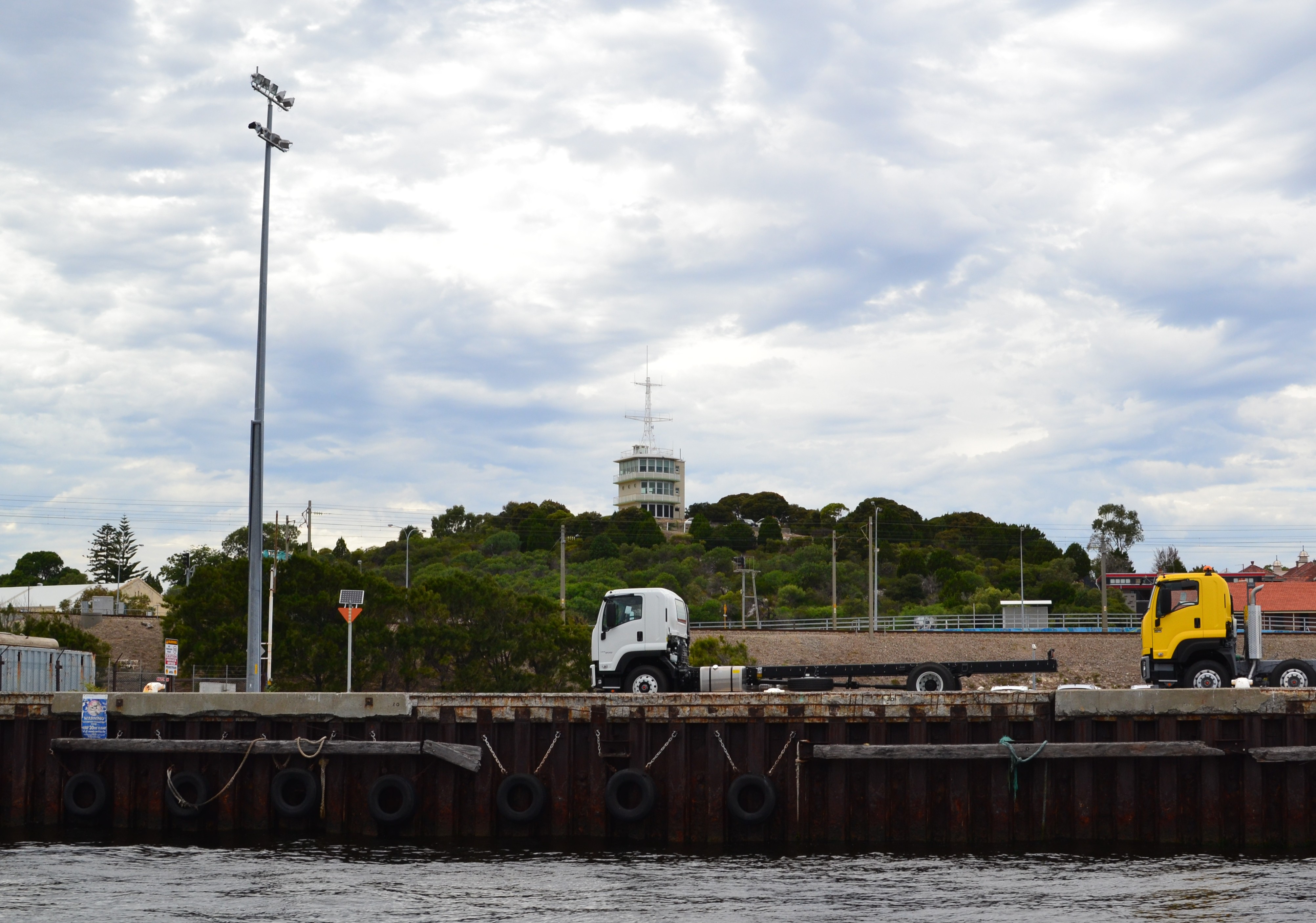 Termon Hill Signal StationRuins · 1014 yd
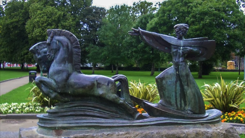 Tober GabrielHoly well · 1122 yd
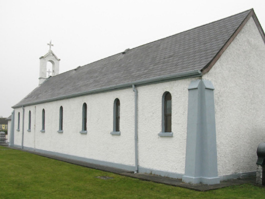 Catholic Church of Our Lady of Lourdeschurch/chapel · 1130 yd
 Trá Mullach RuaBeach / strand · 2.0 mi
 Léim an ReitheIslet · 2.3 mi
 Site of Redmond Barretts CastleCastle, unclassified · 2.5 mi
 CaolaighIslet · 3.1 mi
 Ceann FionnaltaHeadland · 4.0 mi
 Barranagh Castle in RuinsCastle, unclassified · 4.2 mi
 Cuan an Fhóid DuibhBay · 4.4 mi
Other information
Photo: Credit not shown in the picture search · Rights wording not checked; contact us if this picture should be removed