What is recorded here
Places near here
Photo credits
- Maker not stated on source page, www.rte.ie
- Maker not stated on source page, www.pinterest.com
- Maker not stated on source page, en.wikipedia.org
- George McHugh, Geograph · CC BY-SA 2.0
- Colin Park, Geograph · CC BY-SA 2.0
- Anne Burgess, Wikimedia Commons · CC BY-SA 2.0
- Mervyn Greer, Wikimedia Commons · CC BY-SA 2.0
- Gareth James, Wikimedia Commons · CC BY-SA 2.0
- Bob Embleton, Wikimedia Commons · CC BY-SA 2.0
- Rossographer, Geograph · CC BY-SA 2.0
- Stuart Yeates, Wikimedia Commons · CC BY-SA 2.0
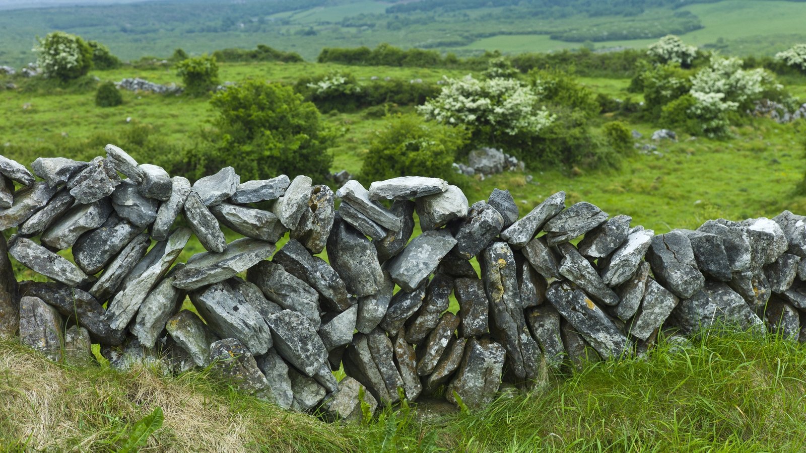 Stone features (2): possible kelp draining walls in CarravindoonStone features (2): possible kelp draining walls · 18 mi
Explorer Tom Stone features in Carravindoon are two possible kelp draining walls that think they’re much more impressive than they…
 Stone boat shelter in CarravindoonStone boat shelter · 18 mi
Explorer Tom Stone boat shelter in Carravindoon is tired of people asking if it actually fits a rowing boat inside. It’s from the…
 Round cairn (date uncertain) in CarravindoonRound cairn (date uncertain) · 18 mi
Explorer Tom Round cairn in Carravindoon is planning its retirement after millennia of sitting still. It says it wants to move to a…
 Ushet PointHeadland · 18 mi
Explorer Tom Ushet Point gave up meat for Lent but ended up eating fish, which it claims doesn't really count as cheating. It’s a…
 Rue PointHeadland · 18 mi
Explorer Tom Rue Point was nearly sold off to a farmer for one horse and a bag of potatoes in 1820. Luckily, the farmer changed his…
 Rue Point LighthouseLighthouse · 18 mi
Explorer Tom Rue Point Lighthouse claims to be three thousand years old, which I think is a lie, but I’m not going to correct it in…
 Fair HeadViewpoint · 20 mi
Explorer Tom Fair Head has started giving the nosey neighbours the silent treatment lately. It just stands there, staring out at the…
 Passage tomb in CrossPassage Tomb · 21 mi
Explorer Tom Passage tomb in Cross is currently dealing with a fairy dispute over parking rights. The fairies want to park their…
 Kinbane castle in CregganboyKinbane Castle · 22 mi
Explorer Tom Kinbane Castle in Cregganboy is late medieval and has been sitting there looking brooding for centuries, probably…
 Kinbane CastleCastle · 22 mi
Explorer Tom Kinbane means white head, and Antrim has chosen a pale limestone point that makes the name easy to remember. Colla…
 Carrickarede IslandIslet · 22 mi
Explorer Tom Carrickarede Island has strict rules for visitors: no shoes, no noise, and absolutely no salmon poaching after six. The…
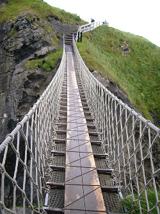 Carrick-a-rede Rope BridgeHeritage attraction · 22 mi
Explorer Tom I'll cross after you. That is bravery with excellent timing. Carrick-a-Rede asks you to cross 20 metres of rope bridge…
More wrecks and historic events in Argyll and Bute · All of Argyll and Bute

What do you know about this place?Tap to add a comment or ask a question