
What is recorded here
From OpenStreetMap (© OpenStreetMap contributors) w1177196077
Places near here
Photo credits
- Maker not stated on source page, commons.wikimedia.org
- Maker not stated on source page, en.wikipedia.org
- Maker not stated on source page, www.alamy.com
- Kmcnamee, Wikimedia Commons · CC BY-SA 4.0
- Maker not stated on source page, www.pinterest.com
- Eric Jones, Geograph · CC BY-SA 2.0
- Kenneth Allen, Geograph · CC BY-SA 2.0
- Albert Bridge, Wikimedia Commons · CC BY-SA 2.0
- Maker not stated on source page, uk.pinterest.com
 Enclosure in TeconnaughtEnclosure · 1.6 mi
Explorer Tom Enclosure in Teconnaught would bring a large bag of crisps to any party it attended because it thinks it’s very…
 Church Site, Graveyard & Cross Carved Stone: Killygartan in ListooderChurch Site, Graveyard & Cross Carved Stone: Killygartan · 1.7 mi
Explorer Tom Killygartan in Listooder is a church site with a graveyard and a cross carved stone that looks like it’s been waiting…
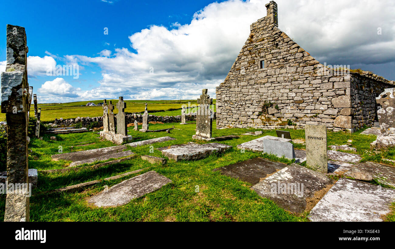 Medieval church & graveyard: killylone or shankill in MagheraloneMedieval Church & Graveyard: Killylone or Shankill · 1.7 mi
Explorer Tom Medieval church & graveyard: killylone or shankill in Magheralone is having an identity crisis. Killylone says it’s the…
 Kilmore graveyard in CarnacallyKilmore Graveyard · 1.8 mi
Explorer Tom Kilmore graveyard in Carnacally holds a fake world record for being the most misunderstood medieval site. A proper spot…
 St. Colman's Park, St. Colman's GAA, DrumanessGAA ground · 1.9 mi
 McCartan's CastleArchaeological place · 3.2 mi
Explorer Tom McCartan's Castle is getting picked on by the wind because it refused to install a roof, which is a bold architectural…
 Eleven Acres WoodForest · 3.9 mi
Explorer Tom Eleven Acres Wood had its most dramatic moment when a squirrel dropped an acorn on a very important-looking beetle…
 Dunmore MountainMountain / peak · 4.4 mi
Explorer Tom Dunmore Mountain in County Down is sitting across from Black Lough Fen, looking smug because it knows something the map…
 Wallace HillMountain / peak · 4.8 mi
Explorer Tom Wallace Hill was managed by a matchmaker who paired up every lonely hiker she saw, resulting in dozens of marriages…
 Inch Parish ChurchChurch · 4.8 mi
Explorer Tom Inch Parish Church is sitting there looking very serious, probably waiting for someone to bring a sandwich. It’s a…
 Church Park WoodWood · 5.0 mi
Explorer Tom Church Park Wood in County Down does absolutely nothing when nobody’s looking but judges everyone who walks past on…
 Inch Abbey Station Picnic AreaPicnic place · 5.3 mi
Explorer Tom Inch Abbey Station Picnic Area has a tunnel that supposedly leads straight to the pub, but nobody wants to admit they…
More archaeology and monuments in County Down · All of County Down

What do you know about this place?Tap to add a comment or ask a question