
What is recorded here
K9 Kiessimul is a broch in Na h-Eileanan Siar, Scotland.
Places near here
Photo credits
- Barbara Carr, Wikimedia Commons · CC BY-SA 2.0
- Becky Williamson, Wikimedia Commons · CC BY-SA 2.0
- Steve Houldsworth, Wikimedia Commons · CC BY-SA 2.0
- Alan Reid, Wikimedia Commons · CC BY-SA 2.0
- John Lucas, Wikimedia Commons · CC BY-SA 2.0
- Colin Smith, Wikimedia Commons · CC BY-SA 2.0
- David Martin, Wikimedia Commons · CC BY-SA 2.0
- Richard Webb, Wikimedia Commons · CC BY-SA 2.0
- Maker not stated on source page, en.wikipedia.org
- Maker not stated on source page, www.pinterest.com
- Maker not stated on source page, www.isleofmullcottages.com
 New House, New Picnic SiteOld home or work place · 257 yd
 Barra, CastlebayField System, Head Dyke (post Medieval), Inn, School, Township · 748 yd
 Heaval Island of BarraIsland · 983 yd
 Rough hill ground east of CastlebayMountain or hill · 1115 yd
 Barra, Castlebay, Roman Catholic Church of Our Lady Star of the Sea, Presbytery HousePresbytery (post Medieval) · 1224 yd
 Tower of the Church of 'Our Lady, Star of the Sea'Castle, fort or tower · 1232 yd
 Barra, Castlebay, Roman Catholic Church of Our Lady Star of the SeaChurch (19th Century), War Memorial(s) (20th Century) · 1241 yd
 Castlebay seen from the Kisimul Castle ferryCastle, fort or tower · 1268 yd
 Woodland, BreibhigForest or wood · 1303 yd
 Auguste and Marie: Castlebay Harbour, Barra, Sea of the HebridesSchooner (19th Century) · 1470 yd
 Davar: Castlebay Harbour, Barra, Sea of the HebridesSmack (19th Century) · 1470 yd
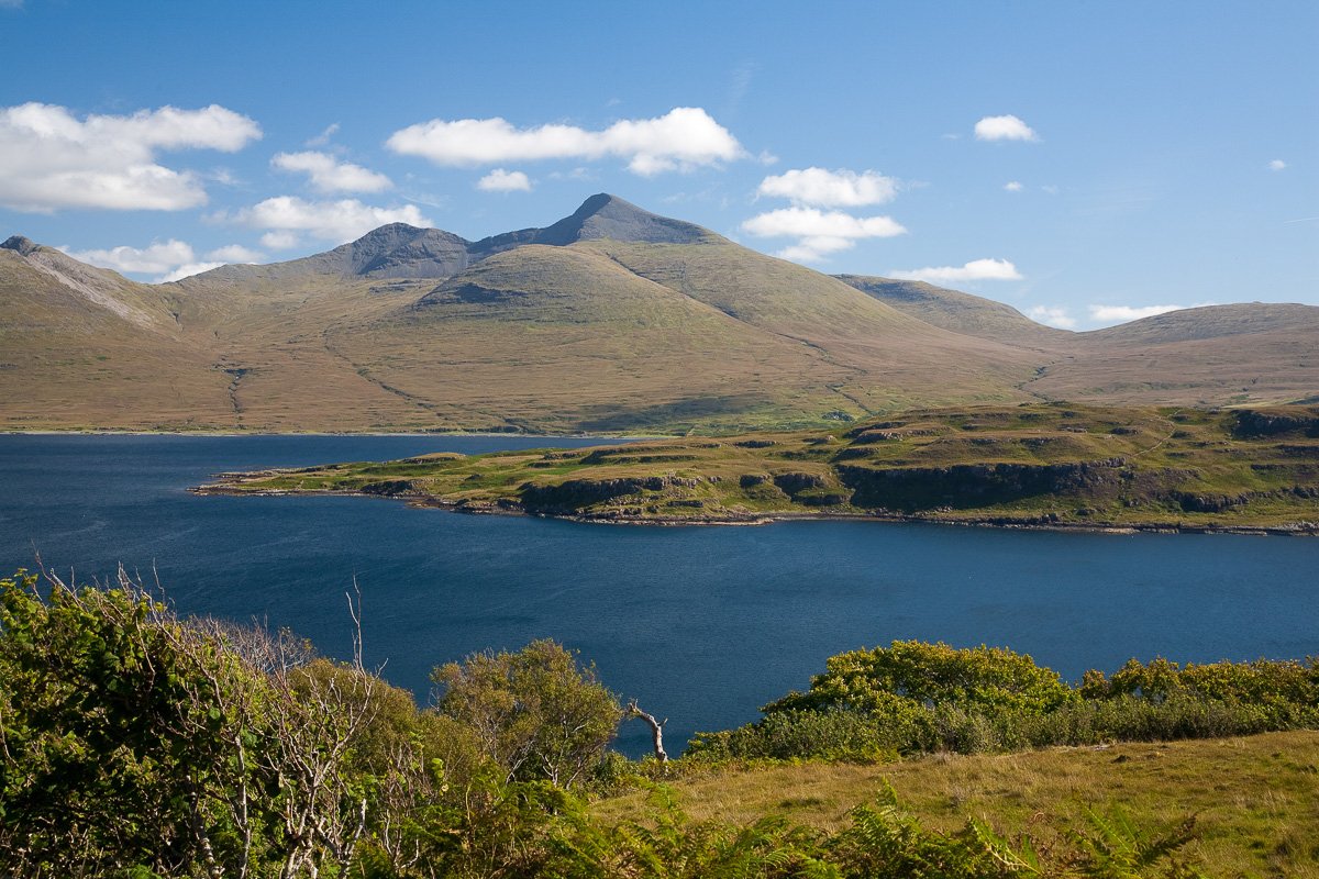 CiosmulIslet · 1615 yd
More archaeology and monuments in Na h-Eileanan Siar · All of Na h-Eileanan Siar

What do you know about this place?Tap to add a comment or ask a question