
What is recorded here
Johnshill is an archaeological landscape in South Lanarkshire, Scotland.
Places near here
Photo credits
- Gordon Brown, Wikimedia Commons · CC BY-SA 2.0
- Richard Webb, Wikimedia Commons · CC BY-SA 2.0
- M J Richardson, Wikimedia Commons · CC BY-SA 2.0
- Maker not stated on source page, en.wikipedia.org
- Maker not stated on source page, www.wikidata.org
- Alan O'Dowd, Wikimedia Commons · CC BY-SA 2.0
- Maker not stated on source page, www.slideserve.com
- Maker not stated on source page, construo.io
- Maker not stated on source page, www.tripadvisor.co.uk
 Auchlochan HouseHouse · 1291 yd
 Auchlochan BridgeRoad Bridge (18th Century) · 1307 yd
 AuchlochanBurial Cairn (bronze Age) (possible), Button (jet), Cinerary Urn(s) (bronze Age) (possible), Unidentified Object (silver) · 1316 yd
 Lesmahagow, South Driveway, BridgeRoad Bridge (19th Century) · 1.4 mi
 CairnhousesNo Class (event) · 1.5 mi
 WhitesideNo Class (event) · 1.5 mi
 Coalburn, Bellfield Road, ChurchChurch (19th Century) · 1.6 mi
 StockbriggsCountry House (19th Century) · 1.6 mi
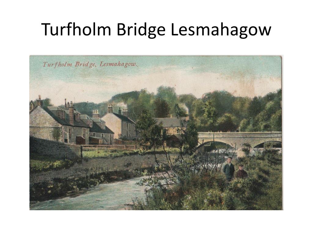 Turfholm, Turfholm BridgeRoad Block (20th Century) · 1.7 mi
 Turfholm BridgeRoad Bridge (19th Century) · 1.7 mi
 Lesmahagow, Church Square, Lesmahagow Parish ChurchChurch (19th Century), Priory (12th Century) - (17th Century) · 1.8 mi
 Lesmahagow, Abbeygreen Church, ManseManse (19th Century) · 2.0 mi
More archaeology and monuments in South Lanarkshire · All of South Lanarkshire

What do you know about this place?Tap to add a comment or ask a question