
What is recorded here
Two-arch rubble stone road bridge over river, dated 1765, incorporating fabric of earlier bridge, c.1650. Random rubble stone walls with lime mortar, cut-stone triangular cut-waters to piers having tapered capping, cut-stone date stone/plaque, and cut-stone coping to parapets. Pair of round arches (pointed-arch profile to north-west) with rubble stone voussoirs, and rubble stone soffits having remains of lime render over. Sited spanning (Saint?) John’s River.
A gracefully-proportioned bridge incorporating the fabric of an earlier bridge on site, which is of some archaeological significance. The traditional construction in unrefined, locally-sourced rubble stone produces an appealing textured visual effect, which integrates well with the surrounding landscape. The civil engineering significance of the composition is identified by the rendering of the elegant arches, which have retained their original profile.
This does not grant access. Most recorded buildings are privately owned; view them only from public ground unless the owner allows entry.
Places near here
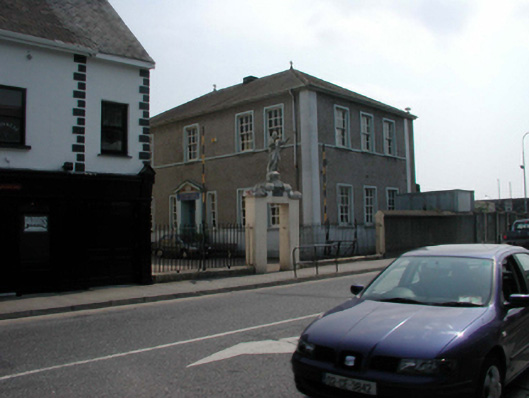 Scoil Eoin Christian Brothers Schoolschool · 82 yd
 Watch TowerHeritage attraction · 89 yd
 Saint John's Catholic ChurchOfficially recorded historic building · 130 yd
 Double TowerHeritage attraction · 154 yd
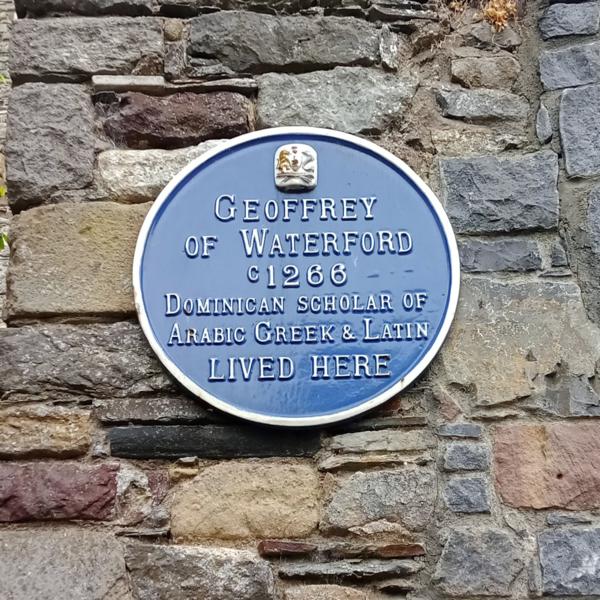 Abbey (Site of)Religious house, Augustinian canons · 299 yd
 Bastioned fort in Waterford CityBastioned fort · 323 yd
 9/11 MemorialMemorial · 425 yd
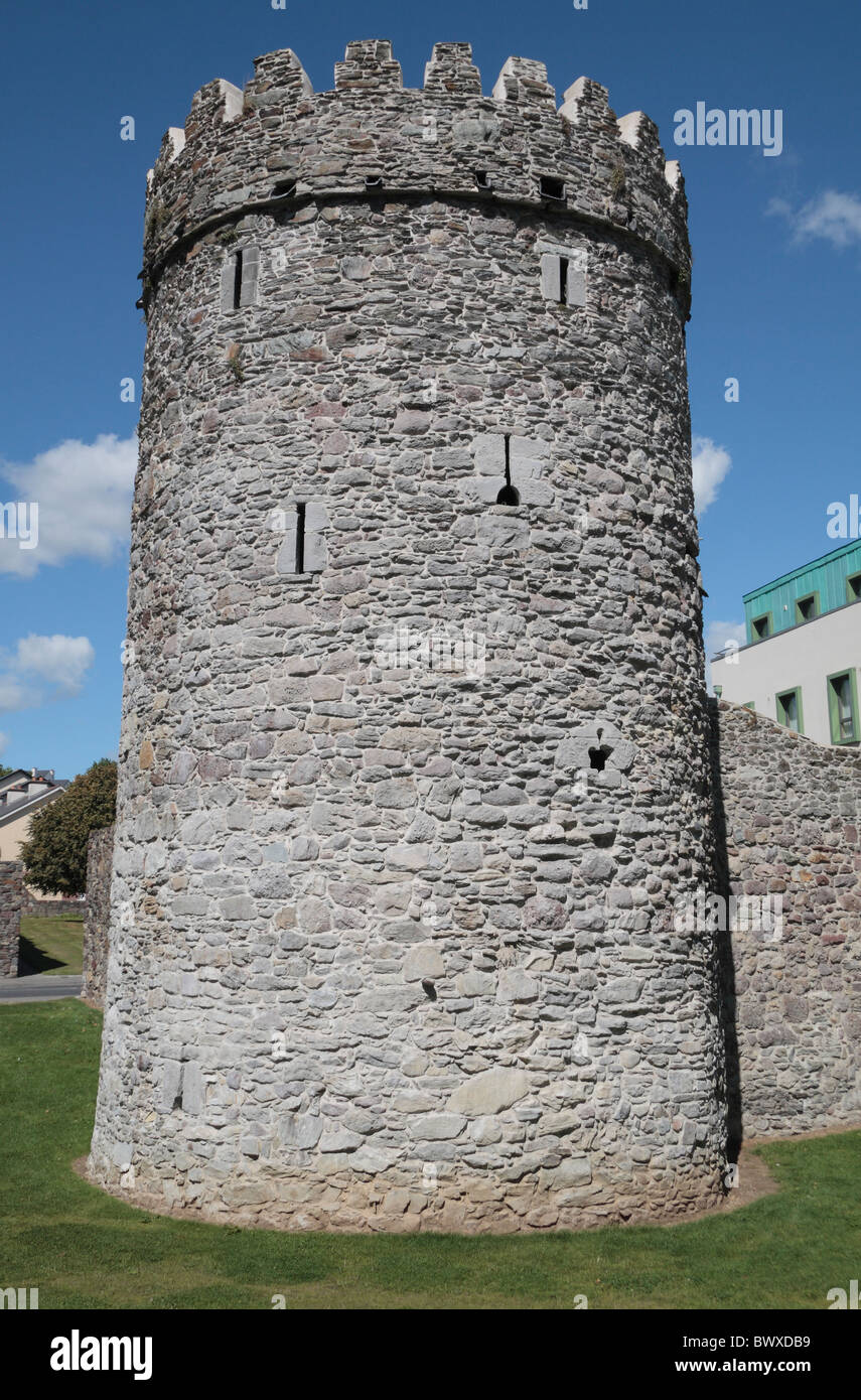 Waterford City WallsVisitor information · 435 yd
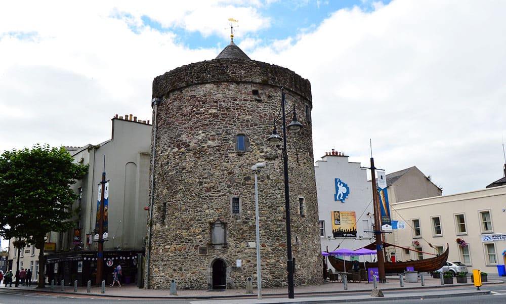 Semi-Lunar TowerCastle · 486 yd
 Granny CastleCastle, tower house · 2.7 mi
 Native Woodland Trust:Grace Dieu ReserveWood · 2.7 mi
 Native Irish Tree TrailWood · 3.0 mi
Other information
Photo: David Dixon · CC BY-SA 2.0