
What is recorded here
Places near here
Photo credits
- Billy McCrorie, Wikimedia Commons · CC BY-SA 2.0
- Leslie Barrie, Wikimedia Commons · CC BY-SA 2.0
- Maker not stated on source page, www.visitscotland.com
- Rose and Trev Clough, Wikimedia Commons · CC BY-SA 2.0
- Maker not stated on source page, www.dailyrecord.co.uk
 Stranraer, Thistle StreetNo Class (event) · 220 yd
 Stranraer, St John Street, Place of WorshipPlace of Worship (modern) · 259 yd
Explorer Tom Stranraer’s St John Street worship hall hosted a fake royal visit where everyone bowed to a mannequin wearing a very…
 Stranraer, London Road, St John's Episcopal ChurchChurch (19th Century) · 271 yd
Explorer Tom Stranraer’s St John’s Episcopal Church is the subject of constant criticism from the local seagulls, who think its…
 Stranraer, Hanover Street, GeneralGeneral View · 320 yd
Explorer Tom Stranraer, Hanover Street, General is talking to its younger self about making better fashion choices. It probably says…
 Stranraer, Dalrymple Street, Reformed Presbyterian Church, HallChurch Hall (19th Century) · 327 yd
Explorer Tom Stranraer, Dalrymple Street, Reformed Presbyterian Church, Hall was designed by a mother-in-law who wanted to make sure…
 Stranraer, Dalrymple Street, Reformed Presbyterian ChurchChurch (19th Century) (1824) · 341 yd
Explorer Tom Stranraer’s Reformed Presbyterian Church on Dalrymple Street was built in 1824 by people who liked rules. It’s got a…
 Stranraer, Dalrymple Street, Reformed Presbyterian Church, GraveyardCemetery (post Medieval) · 354 yd
Explorer Tom The graveyard of Stranraer’s Reformed Presbyterian Church on Dalrymple Street is recorded as a post-medieval cemetery…
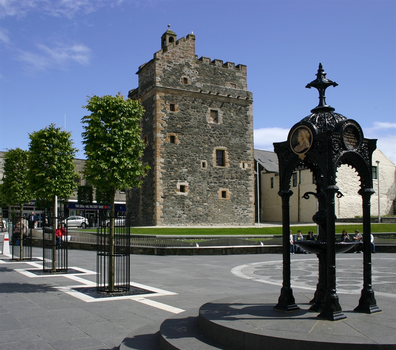 Stranraer, 12-14 Castle StreetHouse (early 19th Century) · 370 yd
Explorer Tom 12-14 Castle Street would tell the modern replacement that they lack soul. It’s an early 19th-century house with big…
 Stranraer, Bridge Street, GeneralGeneral View · 440 yd
Explorer Tom Stranraer, Bridge Street, General is a view that knows too much gossip. The official map says its point is accurate as…
 War MemorialMemorial · 531 yd
 Marine Lake BeachBeach / strand · 913 yd
Explorer Tom Marine Lake Beach is marked as a beach or strand on the Dumfries and Galloway map, and my fictional lifeguard has…
 David: Sandmill, Loch Ryan, Firth of ClydeBrig (19th Century) · 1.1 mi
More places in Dumfries and Galloway

What do you know about this place?Tap to add a comment or ask a question