What is recorded here
Jedburgh, Newcastle Road, Bridewell is a documented jail in the Scottish Borders, though no exact date or surviving room is recorded. The name itself is a warning, for a bridewell was where ordinary people learned the sharp edge of local law. It may have held thieves, drunkards or debtors, their shadows pressing against stone while the town slept. The absence of a date does not erase the function; it only invites imagination to fill the dark rooms with human fear and consequence.
Scotland's National Record of the Historic Environment records Jedburgh, Newcastle Road, Bridewell as Jail (period Unassigned). The official map says its point is accurate as follows: NGR given to the nearest 10m. The record does not by itself mean that the public may enter the place.
Jedburgh, Newcastle Road, Bridewell was a 17th-century jail associated with the town's historical administration and legal system. It is remembered as part of the local penal and civic infrastructure in the Scottish Borders.
The historic-place record does not grant public access. Check current conditions and ownership before entering land or a building.
Places near here
 Jedburgh, Abbey BridgeRoad Bridge (19th Century) · 38 yd
 Jed WaterFindspot (period Unassigned), Coin(s) (period Unassigned) · 99 yd
 Jedburgh War MemorialMemorial · 121 yd
 Jedburgh AbbeyBoundary Wall (period Unassigned) · 124 yd
 Jedburgh, Abbey Place, Public HallDrill Hall (first World War), Town Hall (20th Century) · 190 yd
 Jedburgh, Newcastle Road, Allerley Well Park, Gatepiers and Boundary WallGate Pier (19th Century) · 249 yd
 Jedburgh, Exchange StreetNo Class (event) (period Unassigned) · 293 yd
 Jubilee FountainMemorial · 297 yd
 Jedburgh, CanongateNo Class (event) (period Unassigned) · 317 yd
 Jedburgh, Castlegate, Jedburgh Castle JailCastle (medieval), Jail (19th Century) · 384 yd
 Mary Queen Of Scots' Visitors CentreMuseum · 408 yd
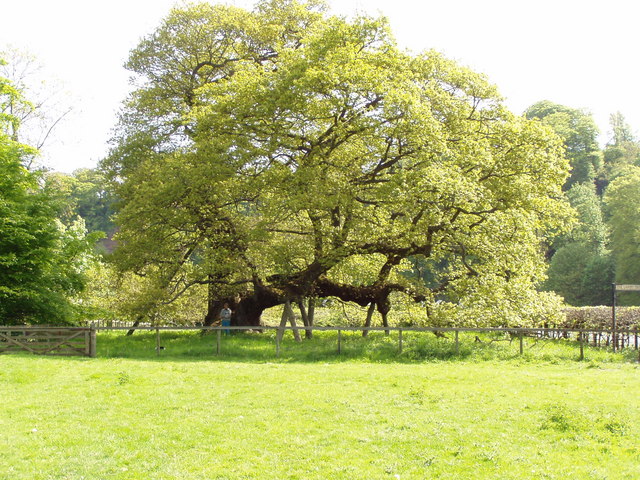 Capon TreeSessile Oak · 1586 yd