
What is recorded here
Scotland's National Record of the Historic Environment records Jed Water as Findspot (period Unassigned), Coin(s) (period Unassigned). The official map says its point is accurate as follows: NGR given to the nearest 100m. The record does not by itself mean that the public may enter the place.
The historic-place record does not grant public access. Check current conditions and ownership before entering land or a building.
Places near here
 Jedburgh AbbeyBoundary Wall (period Unassigned) · 87 yd
 Jedburgh, Abbey BridgeRoad Bridge (19th Century) · 90 yd
 Jedburgh War MemorialMemorial · 147 yd
 JEDBURGH, 73A and 73B CASTLEGATETerraced House (19th Century) · 203 yd
 Jedburgh Abbey CemeteryBurial Ground (medieval) · 203 yd
 Jedburgh, Abbey Place, Public HallDrill Hall (first World War), Town Hall (20th Century) · 223 yd
 Jedburgh, Exchange StreetNo Class (event) (period Unassigned) · 244 yd
 Jubilee FountainMemorial · 287 yd
 Jedburgh, Castlegate, Jedburgh Castle JailCastle (medieval), Jail (19th Century) · 289 yd
 Jedburgh, CanongateNo Class (event) (period Unassigned) · 345 yd
 Mary Queen Of Scots' Visitors CentreMuseum · 448 yd
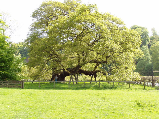 Capon TreeSessile Oak · 1578 yd
Other information
Photo: Euan Nelson · CC BY-SA 2.0