
What is recorded here
Allerley Well Park still keeps its 19th-century gatepiers on Newcastle Road, two stone sentinels framing a boundary wall that once marked the edge of a private world. They stand in the Scottish Borders like a threshold between ordinary street life and the hidden green breath of the well below. The precision of their location suggests someone valued the line between ownership and exclusion, yet the park now invites everyone across that same stone.
Scotland's National Record of the Historic Environment records Jedburgh, Newcastle Road, Allerley Well Park, Gatepiers and Boundary Wall as Gate Pier (19th Century). The official map says its point is accurate as follows: NGR given to the nearest 1m. The record does not by itself mean that the public may enter the place.
The historic-place record does not grant public access. Check current conditions and ownership before entering land or a building.
Places near here
 Jedburgh, Blaikup StoneInscribed Stone (period Unknown) · 90 yd
 JedburghFindspot (period Unassigned), Unidentified Flint(s) (flint)(period Unassigned) · 123 yd
 Jedburgh, Abbey BridgeRoad Bridge (19th Century) · 282 yd
 Jedburgh AbbeyBoundary Wall (period Unassigned) · 336 yd
 Jedburgh, Castlegate, Jedburgh Castle JailCastle (medieval), Jail (19th Century) · 362 yd
 Jedburgh CastleMemorial · 364 yd
 Jedburgh War MemorialMemorial · 367 yd
 Jedburgh, Exchange StreetNo Class (event) (period Unassigned) · 495 yd
 Jubilee FountainMemorial · 534 yd
 Jedburgh, CanongateNo Class (event) (period Unassigned) · 566 yd
 Mary Queen Of Scots' Visitors CentreMuseum · 655 yd
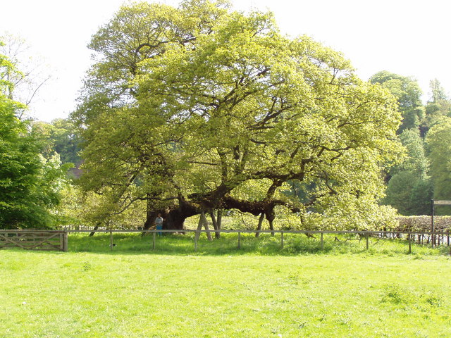 Capon TreeSessile Oak · 1337 yd
Other information
Photo: Walter Baxter · CC BY-SA 2.0