Places near here
Photo credits
- Michael Dibb, Wikimedia Commons · CC BY-SA 2.0
- AJD, Wikimedia Commons · CC BY-SA 2.0
- Bill Boaden, Wikimedia Commons · CC BY-SA 2.0
- Mr Red, Wikimedia Commons · CC BY-SA 2.0
- Maximilian Dörrbecker ( Chumwa ), Wikimedia Commons · CC BY-SA 3.0
- Roadside Relics, Wikimedia Commons · CC BY-SA 2.0
- Roger Davies, Wikimedia Commons · CC BY-SA 2.0
- Gordon Griffiths, Wikimedia Commons · CC BY-SA 2.0
- Philip Halling, Wikimedia Commons · CC BY-SA 2.0
 Crab OrchardWood · 829 yd
 Frogmore CoppiceWood · 1487 yd
 Victorian postboxOld post box · 1506 yd
 Church of St PaulListed building · 1565 yd
 Battle of Stow (-on-the-Wold) 1646Registered battlefield · 1.3 mi
 Milestone, A424, DonningtonMonument or public art · 1.6 mi
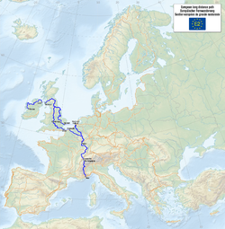 European walking route E2 west, UK, South West EnglandWalking route · 1.7 mi
 Old Milestone, A424, LongboroughMonument or public art · 1.8 mi
 Wellington Aviation MuseumMuseum · 2.0 mi
 The Bell InnVisitor information · 2.1 mi
 Moreton-in-Marsh and Batsford War MemorialMemorial · 2.1 mi
 Statue on St Edward's HallMonument or public art · 2.2 mi
More woods, forests and old trees in Cotswold · All of Cotswold

What do you know about this place?Tap to add a comment or ask a question