
What is recorded here
Places near here
Photo credits
- Albert Bridge, Wikimedia Commons · CC BY-SA 2.0
- P Flannagan, Wikimedia Commons · CC BY-SA 2.0
- Alastair Rae, Wikimedia Commons · CC BY-SA 2.0
- St Peters Lurgan official ClubZap site; photographer not named, stpeterslurgangac.com
- Maker not stated on source page, www.pinterest.com
- Maker not stated on source page, commons.wikimedia.org
- GAA national site; aerial photographer not named, www.gaa.ie
- Maker not stated on source page, ru.pinterest.com
- Kenneth Allen, Geograph Britain and Ireland
- Maker not stated on source page, uk.pinterest.com
- Maker not stated on source page, www.tripadvisor.in
 Lurgan War MemorialMemorial · 109 yd
Explorer Tom The Lurgan War Memorial has a bird that refuses to leave, claiming it’s the guardian of the square. It’s actually just…
 Carnegie LibraryLibrary · 271 yd
Explorer Tom Carnegie Library in Lurgan would order a chipper with extra vinegar because it thinks it’s a pub that got lost in the…
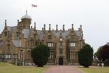 Brownlow HouseMuseum · 563 yd
Explorer Tom Brownlow House in Lurgan has enough turrets and spiral chimneys to make a grown man check whether he has wandered into…
 St. Peter's Park, St. Peter's GAA, LurganGAA ground · 730 yd
 Standing stone (unlocated) in LurganStanding stone (unlocated) · 834 yd
Explorer Tom Standing stone in Lurgan is unlocated, which means it's probably hiding from the council tax man again. I heard a cow…
 Mapped cemeteryCemetery · 838 yd
Explorer Tom Mapper Cemetery is hiding a scandal from centuries past where two families fought over a single headstone. It’s the…
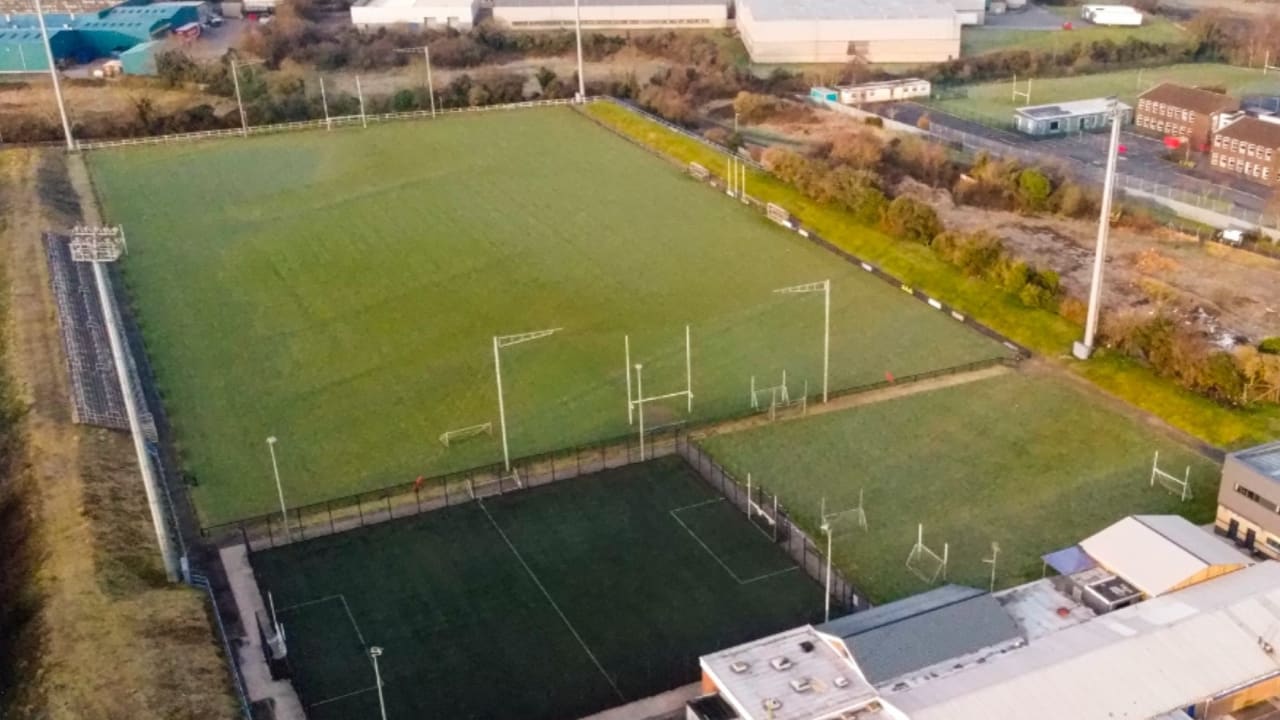 Davitt Park, Clan na Gael GAA, LurganGAA ground · 974 yd
 Holy well (unlocated) in ToberhewnyHoly well (unlocated) · 1.0 mi
Explorer Tom Holy well in Toberhewny is unlocated, so it must be hiding from the council taxes or just shy. When nobody’s looking…
 Mapped graveyardGraveyard · 1.1 mi
Explorer Tom Graveyard (Mapped) in County Armagh can hear every whisper through its walls, which is why everyone pretends to be very…
 Tannaghmore FarmVisitor attraction · 1.9 mi
Explorer Tom Tannaghmore Farm near Craigavon is where Irish Moiled cattle, Galway sheep and Saddleback pigs can make a simple family…
 Oxford IslandVisitor information · 2.2 mi
Explorer Tom Oxford Island in County Armagh is doing its best impression of a serious scholar, but it’s really just a rock…
 Oxford Island National Nature ReserveNature reserve · 2.5 mi
Explorer Tom Oxford Island is in a dramatic standoff with the nearest tree, which it thinks is stealing its sunlight. The birds are…

What do you know about this place?Tap to add a comment or ask a question