What is recorded here
Map note: Near Newton of Kilmeny, Argyll and Bute, Scotland, the map records Islay, Redhouses, Mill Bridge as a road bridge. A little curiosity is allowed; the map will show what is nearby.
Places near here
Photo credits
- Andrew Abbott, Wikimedia Commons · CC BY-SA 2.0
- Maker not stated on source page, www.alamy.com
- Becky Williamson, Wikimedia Commons · CC BY-SA 2.0
- Maker not stated on source page, www.pinterest.com
- Alpin Stewart, Wikimedia Commons · CC BY-SA 2.0
- Barbara Carr, Wikimedia Commons · CC BY-SA 2.0
- Russel Wills, Wikimedia Commons · CC BY-SA 2.0
- Patrick Mackie, Wikimedia Commons · CC BY-SA 2.0
 Islay, Redhouses, Woollen MillWoollen Mill (19th Century) · 34 yd
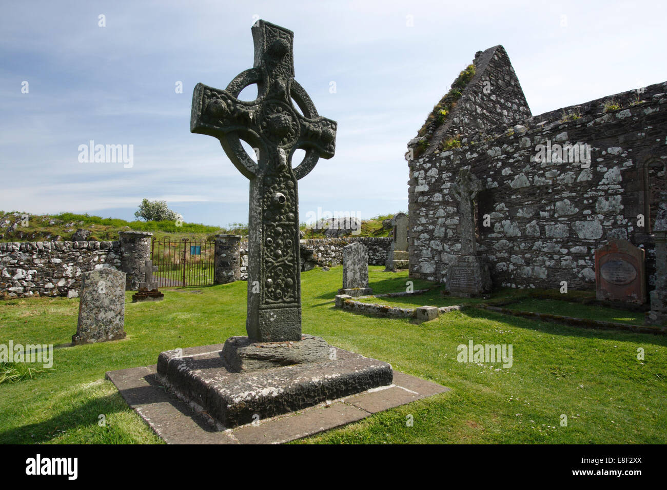 Islay, Free ChurchChurch (mid 19th Century) - (20th Century) · 430 yd
 Islay, Newton of KilmenyBuilding · 1033 yd
 Islay, Islay House, East Lodge and GatewayGate Lodge, Gateway · 1037 yd
 Islay, OctovullinFarmstead · 1096 yd
 Islay, Dry BridgeBarrow (prehistoric) · 1487 yd
 Islay, DaillInhumation (bronze Age), Short Cist (bronze Age) · 1519 yd
Explorer Tom Islay, Daill has a bronze age inhumation and short cist hidden in the landscape! The map is vague, so it’s like finding…
 Islay, MonechorrieBuilding(s), Cottage (19th Century), Enclosure · 1649 yd
 Islay, EallabusCurvilinear Enclosure · 1.0 mi
 Memorial to Dr Archibald McArthurMemorial · 1.1 mi
 John Francis Campbell MonumentMemorial · 1.3 mi
 Emily: Islay House, Loch Indaal, Islay, AtlanticCraft (19th Century) · 2.1 mi
More historic places in Argyll and Bute · All of Argyll and Bute

What do you know about this place?Tap to add a comment or ask a question