What is recorded here
Crannog islands were ancient lake houses, and this is one in Clonnaroo. Stakes and hearths may still lie beneath the water, waiting for a boat to find them.
The official Northern Ireland record identifies this as ISLAND, possibly CRANNOG. Recorded period: E.CHRIST.. The official map point was placed at the centre of the recorded archaeological site from the source map reference.
The monument record does not grant public access. Check the route and ask the landowner before entering private land.
- What survives
- Recorded monument
Places near here
 HOLY WELL: TOBERAKILL in KiltoberHOLY WELL: TOBERAKILL · 809 yd
 Saint Mary's Church (Drummully)church/chapel · 1729 yd
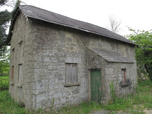 Orange HallOrange Hall · 1.2 mi
 HOLY WELL in DrummullyHOLY WELL · 1.4 mi
 Castle Saunderson DemesneForest · 1.5 mi
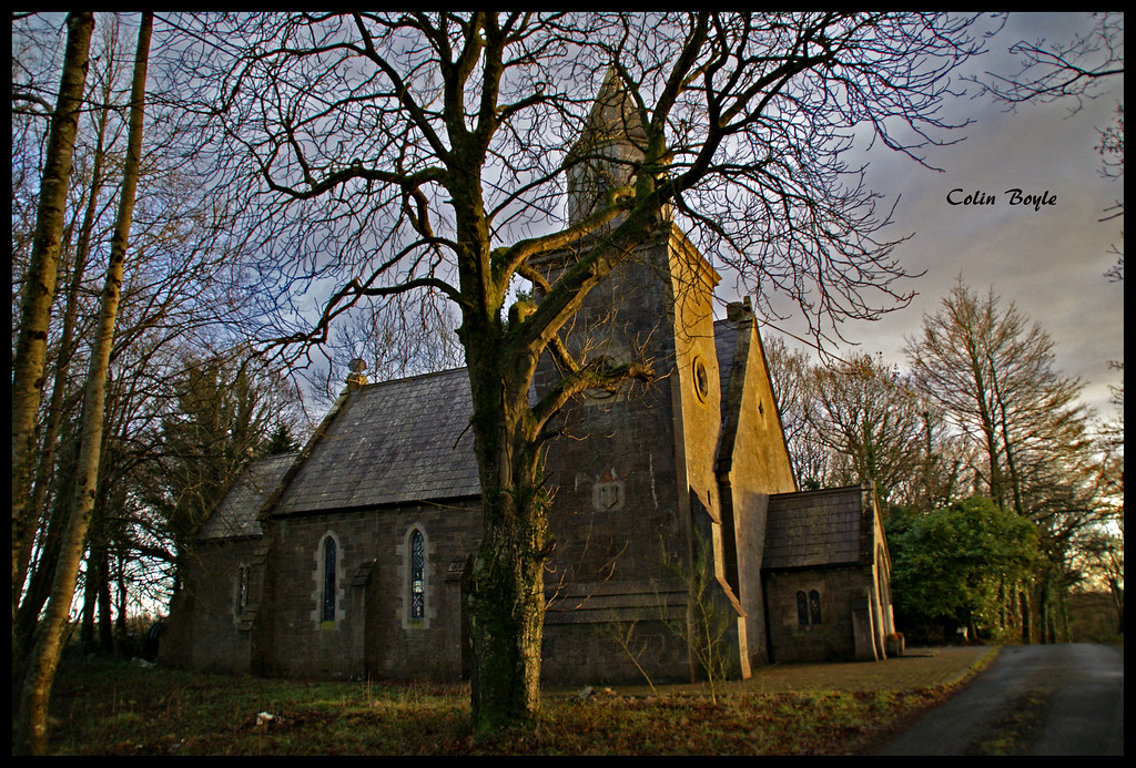 Quivvy WoodWood · 1.7 mi
 ClonandraMountain / peak · 1.7 mi
 Bawn in KillyfanaBawn · 2.7 mi
 SandhillsMountain / peak · 2.9 mi
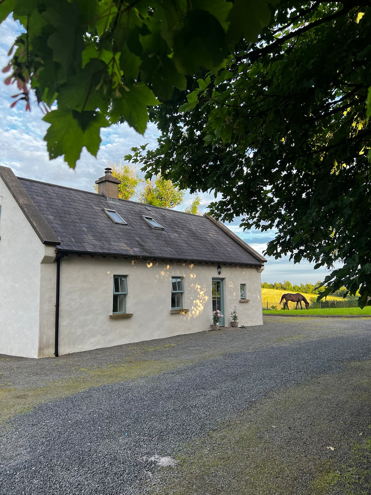 PLANTATION HOUSE & BAWN (unlocated) in LisnashillidaPLANTATION HOUSE & BAWN (unlocated) · 3.4 mi
 Estate Trail, CromWalking route · 4.3 mi
 Inisherk Trail, CromWalking route · 4.9 mi