
What is recorded here
Irvine, Annick Road, Golf Course is a golf course in North Ayrshire, Scotland.
Places near here
Photo credits
- Maker not stated on source page, www.flickr.com
- Mary and Angus Hogg, Wikimedia Commons · CC BY-SA 2.0
- Leslie Barrie, Wikimedia Commons · CC BY-SA 2.0
- Billy McCrorie, Wikimedia Commons · CC BY-SA 2.0
- Maker not stated on source page, www.alamy.com
- Ian Rainey, Wikimedia Commons · CC BY-SA 2.0
- Humphrey Bolton, Wikimedia Commons · CC BY-SA 2.0
- Maker not stated on source page, www.joinmychurch.com
- Maker not stated on source page, www.britannica.com
- Maker not stated on source page, commons.wikimedia.org
 Irvine, Fullarton, BridgeRoad Bridge · 989 yd
 Irvine, TownheadSpoon(s) · 995 yd
 Irvine, Golffields, Powder HousePowder Magazine (17th Century) · 1001 yd
 Irvine, Kirk Vennel, Glebe Primary SchoolSchool (20th Century) · 1010 yd
 St Inan's WellRuins · 1132 yd
 Mapped graveyardGraveyard · 1197 yd
 Irvine, Kirkgate, Irvine Old Parish ChurchChurch (18th Century) (1774) · 1201 yd
 Irvine, Kirkgate, Irvine Old Parish Church, ChurchyardBurial Ground (18th Century), Churchyard (18th Century), Covenanters Grave (17th Century) (1666), Gravestone (19th Century) (1823) · 1228 yd
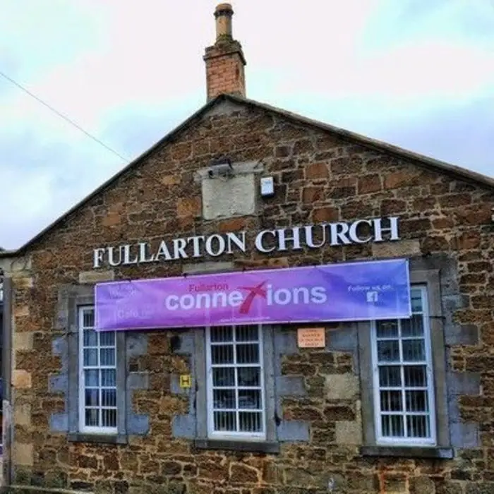 Irvine, Fullarton Street, ChurchChurch (20th Century) · 1417 yd
 Irvine, Bourtreehill, St John Ogilvie ChurchChurch (late 20th Century) · 1460 yd
 Irvine, Broomlands Busway, Bourtreehill Baptist ChurchChurch (20th Century) · 1471 yd
 Shewalton Sandpits Wildlife ReserveNature reserve · 1.1 mi
More archaeology and monuments in North Ayrshire · All of North Ayrshire

What do you know about this place?Tap to add a comment or ask a question