What is recorded here
On the W edge of a knoll in rough pastureland. In advance of reclamation works, a reported flagstone with an insciption was inspected in August 1961 (SMR file). The inscription proved to be incomplete and almost illegible and it was thought that it was not more than two to three hundred years old. No further details were recorded about it or of the flagstone itself. Following the reclamation works the stone appears to have been removed as on re-inspection in April 2008 it could not be located. According to local information, when the stone was visible, a school teacher from Aughrim national school used to bring people to see it.
Compiled by: Olive Alcock
Date of upload: 16 February 2023
Dated to the early medieval period based on inscription style, though its full meaning remains undeciphered. It may have marked a boundary or had commemorative significance.
The monument record does not grant public access. Check the route and ask the landowner before entering private land.
- What survives
- Recorded monument
Places near here
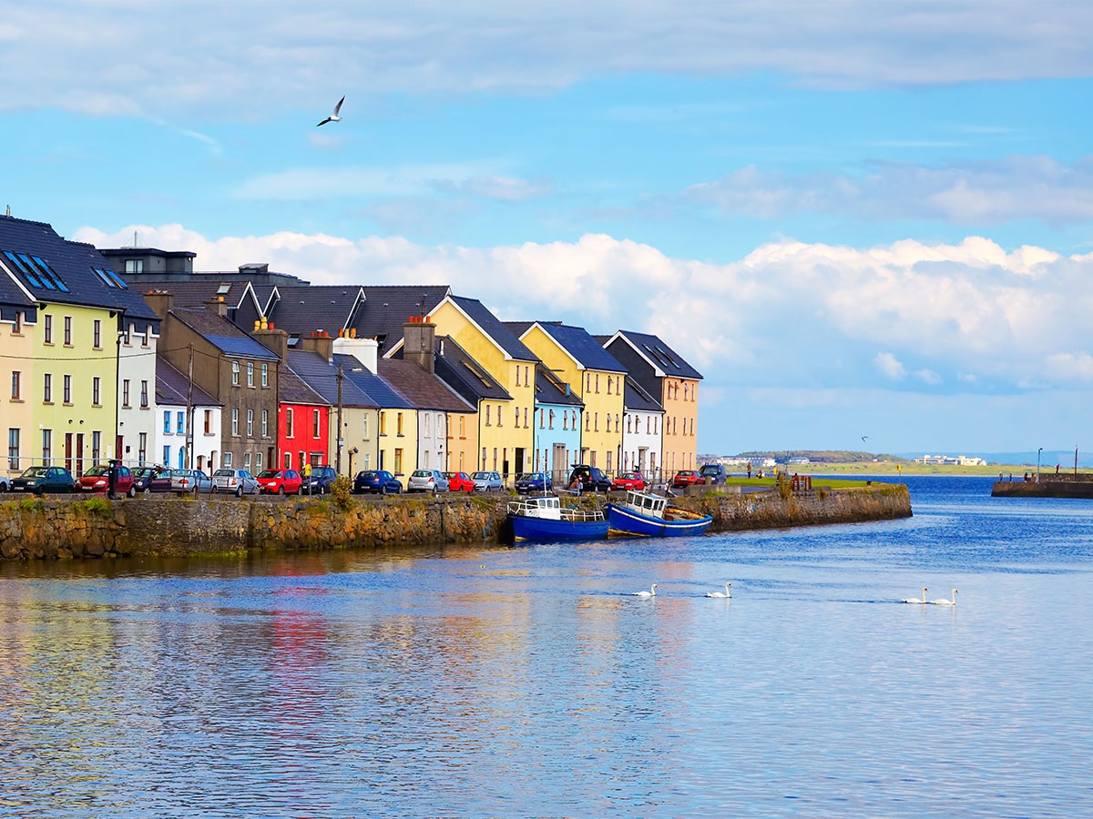 IndicatedFairy fort / earthen ringfort · 366 yd
 Urraghry HillMountain / peak · 812 yd
 Enclosure in TempleparkEnclosure · 915 yd
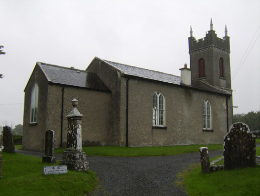 Saint Matthew's Church (Clontuskert)church/chapel · 1179 yd
 The bloody HollowHeritage attraction · 1.1 mi
 Ballagh Castle (in Ruins)Castle, unclassified · 1.3 mi
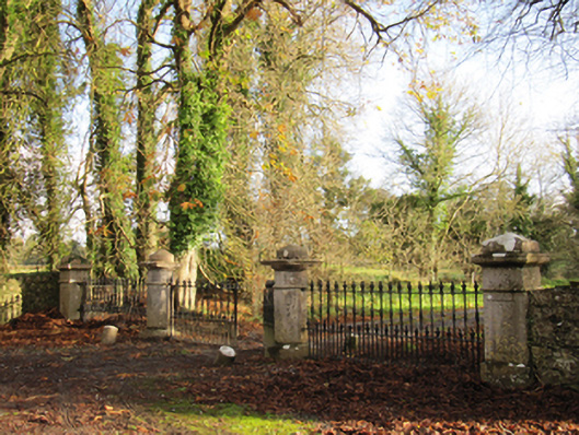 Liskelly Housedemesne walls/gates/railings · 1.4 mi
 Battle of AughrimMajor battlefield · 1.4 mi
 Castle (Site of)Castle, Anglo-Norman masonry castle · 1.7 mi
 Battle of Aughrim Interpretative CentreMuseum · 1.8 mi
 West WoodWood · 1.8 mi
 Oak WoodWood · 2.6 mi